UN/LOCODE hub · China
CNTAC

Taicang Pt

31.6212°, 121.2008°
1
Transport functions
1
Container terminals

Transport Functions

Port
Taicang Pt is also a profiled seaport →
UN/LOCODE

Hub Profile

Region
JS
GeoNames
Logistics facilities
6
UN/LOCODE
Container terminals
1
UN/LOCODE

Location

Location of CNTAC
Natural Earth 10m (public domain) · JS · CNTAC · 31.62, 121.20GoogleOSMYandex

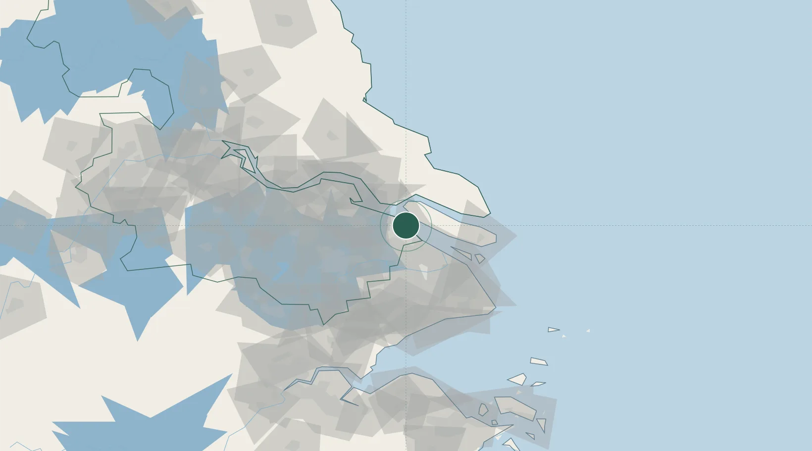
Nearby Logistics Neighbours

Cities
  1. 1Chongming0 km
  2. 2Jiading27 km
  3. 3Changshu Pt29 km
  4. 4Baoshan Pt35 km
  5. 5Anting36 km
Nearest neighbours — logibook spatial index (haversine) over the source coordinates
Ports
  1. 1Changshu29 km
  2. 2Shanghai53 km
  3. 3Nantong57 km
  4. 4Zhangjiangang85 km
  5. 5Jiangyin97 km
Nearest neighbours — logibook spatial index (haversine) over the source coordinates
Airports
  1. 1Shanghai Dachang Air Base39 km
  2. 2Shanghai Hongqiao International Airport49 km
  3. 3Nantong Xingdong International Airport54 km
  4. 4Chenghu General Airport60 km
  5. 5Sunan Shuofang International Airport74 km
Nearest neighbours — logibook spatial index (haversine) over the source coordinates
DatabookThe Record of Consolidated Knowledge
China beyond logistics?
Browse databook

All Sources

LocationsUN/LOCODE
UN/LOCODE — free
Portsthe NGA World Port Index
Public domain (US gov)
AirportsOurAirports
Public domain
Trade Zonesthe World Bank SEZ database
CC BY 4.0
Trade ZonesOpen Zone Map
CC BY
← China locations