Transport Functions
Port
Hub Profile
Place type
Populated place
Region
Guangxi
Time zone
Asia/Shanghai
Elevation
194 m
Logistics facilities
1
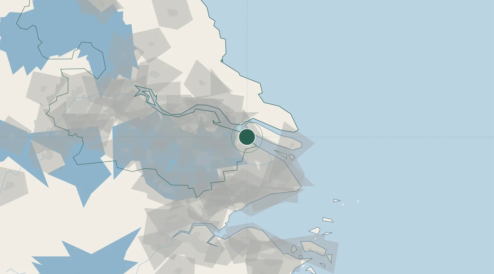
Location
Nearby Logistics Neighbours
Cities
- 1Taicang Pt0 km
- 2Jiading27 km
- 3Changshu Pt29 km
- 4Baoshan Pt35 km
- 5Anting36 km
Ports
- 1Taicang3 km
- 2Changshu29 km
- 3Shanghai53 km
- 4Nantong56 km
- 5Zhangjiangang85 km
Airports
DatabookThe Record of Consolidated Knowledge
China beyond logistics?