Transport Functions
Port
Road
Hub Profile
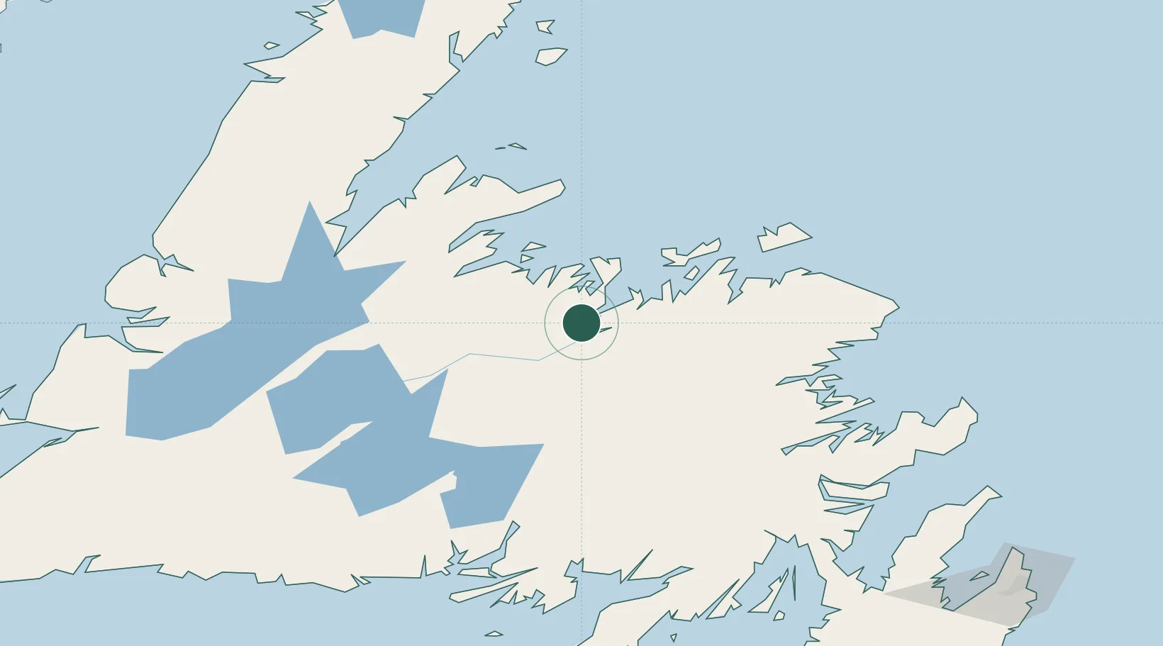
Place type
Populated place
Region
Newfoundland and Labrador
Population
2,875
Time zone
America/St_Johns
Elevation
17 m
Location
Nearby Logistics Neighbours
Cities
- 1Lewisporte24 km
- 2Comfort Cove42 km
- 3Gander64 km
- 4Springdale65 km
- 5Twillingate71 km
Ports
- 1Lewisporte26 km
- 2Springdale64 km
- 3Twillingate71 km
- 4Carmanville85 km
- 5Baie Verte104 km
Airports
- 1Gander International Airport63 km
- 2Fogo Airport99 km
- 3Deer Lake Airport148 km
- 4Miquelon Airport241 km
- 5Stephenville Dymond International Airport243 km
Trade Zones
- 1Crossroads Business Park62 km
- 2Cape Breton Regional Municipality Foreign Trade Zone522 km
- 3Halifax Gateway799 km
- 4Saint John915 km
- 5FTZ No. 179 Madawaska982 km
DatabookThe Record of Consolidated Knowledge
Canada beyond logistics?