Channel & Berth Profile
Pilotage, Tugs & Services
Potable waterYES
Diesel bunkersYES
MedicalYES
Garbage disposalYES
Facilities & Capabilities
Container—
Ro-Ro—
Liquid bulk—
Dry bulkYES
Oil terminal—
Break bulk—
Dry dock—
Repairs—
BunkeringYES
Rail link—
Dangerous cargo—
ISPS security—
Harbour Specifications
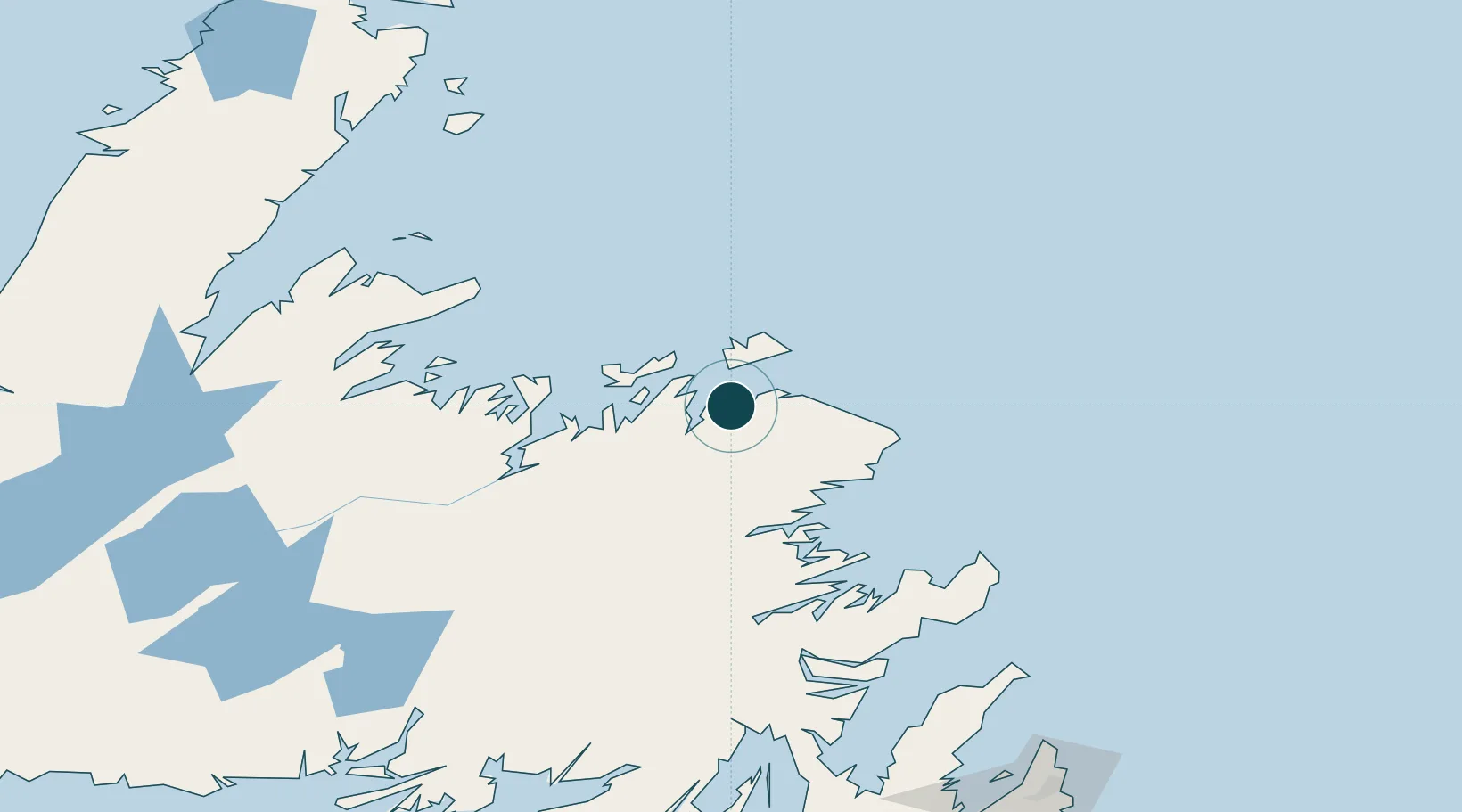
Water body
North Atlantic Ocean
Tidal range
1.8 m
Location
Nearby Logistics Neighbours
Ports
- 1Twillingate46 km
- 2Lewisporte59 km
- 3Botwood83 km
- 4Springdale131 km
- 5Catalina Harbor132 km
Cities
- 1Seldom23 km
- 2Change Islands32 km
- 3Fogo35 km
- 4Comfort Cove44 km
- 5Twillingate45 km
Airports
- 1Fogo Airport29 km
- 2Gander International Airport56 km
- 3St. John's International Airport227 km
- 4Deer Lake Airport228 km
- 5St. Anthony Airport256 km
Trade Zones
- 1Crossroads Business Park55 km
- 2Cape Breton Regional Municipality Foreign Trade Zone603 km
- 3Halifax Gateway881 km
- 4Saint John999 km
- 5FTZ No. 179 Madawaska1065 km
DatabookThe Record of Consolidated Knowledge
Canada beyond logistics?