Transport Functions
Port
Hub Profile
Place type
Populated place
Region
Newfoundland and Labrador
Population
4
Time zone
America/St_Johns
Elevation
22 m
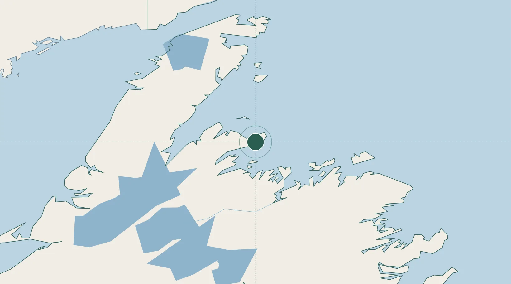
Location
Nearby Logistics Neighbours
Cities
- 1Baie Verte41 km
- 2Springdale57 km
- 3Twillingate67 km
- 4Comfort Cove82 km
- 5Lewisporte82 km
Ports
- 1Baie Verte42 km
- 2Springdale54 km
- 3Twillingate66 km
- 4Lewisporte81 km
- 5Botwood86 km
Airports
- 1Fogo Airport102 km
- 2Gander International Airport130 km
- 3Deer Lake Airport149 km
- 4St. Anthony Airport171 km
- 5Lourdes-de-Blanc-Sablon Airport206 km
Trade Zones
- 1Crossroads Business Park129 km
- 2Cape Breton Regional Municipality Foreign Trade Zone562 km
- 3Halifax Gateway836 km
- 4Saint John935 km
- 5FTZ No. 179 Madawaska978 km
DatabookThe Record of Consolidated Knowledge
Canada beyond logistics?