Transport Functions
Port
Road
Hub Profile
Place type
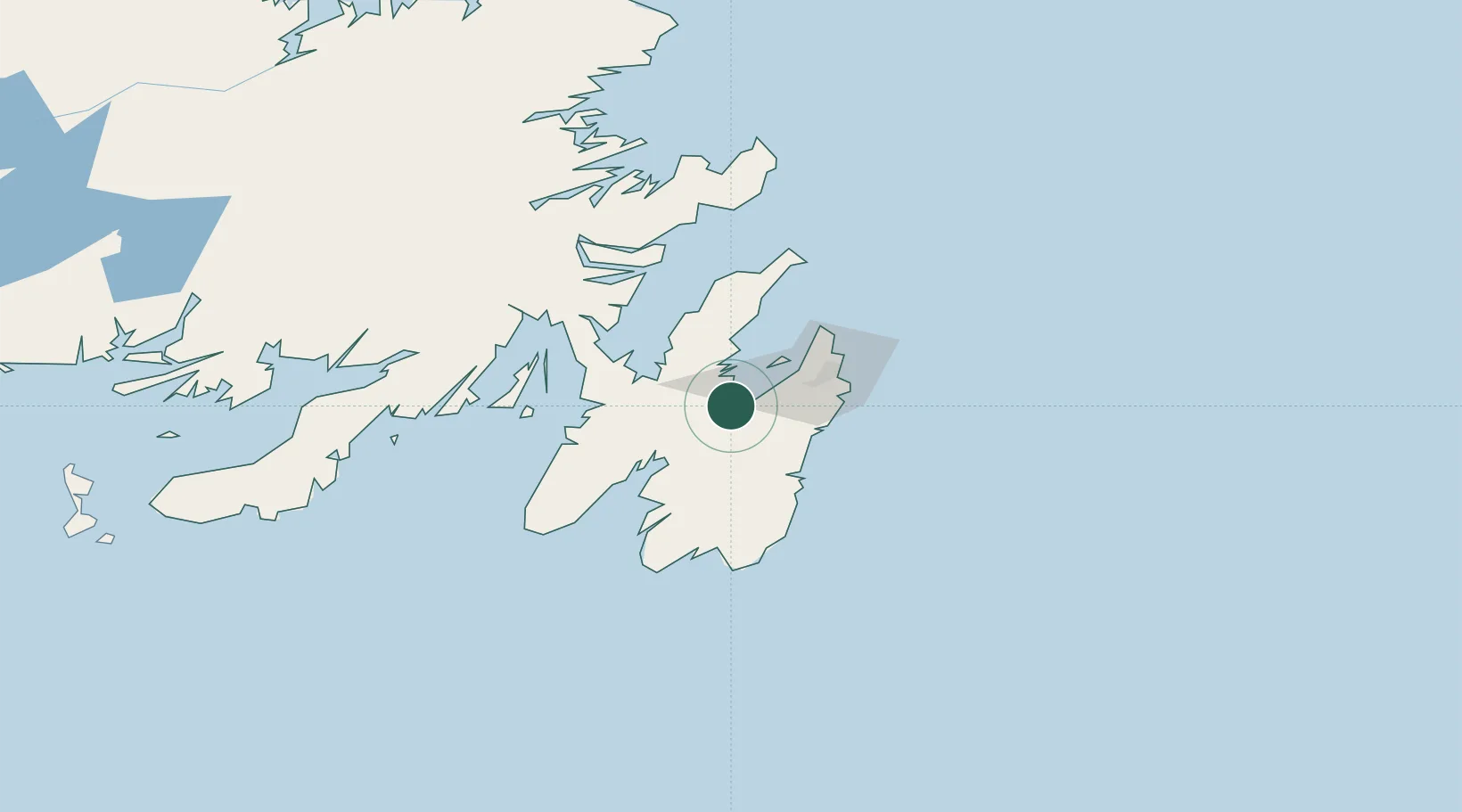
Populated place
Region
Newfoundland and Labrador
Time zone
America/St_Johns
Elevation
25 m
Location
Nearby Logistics Neighbours
Cities
- 1Holyrood6 km
- 2Coley's Point19 km
- 3Bay Roberts20 km
- 4Spaniards Bay24 km
- 5Paradise28 km
Ports
- 1Bay Roberts20 km
- 2Bay Bulls31 km
- 3St John's41 km
- 4Argentia60 km
- 5Come By Chance Harbor75 km
Airports
- 1St. John's International Airport41 km
- 2Gander International Airport197 km
- 3Saint-Pierre Pointe-Blanche Airport237 km
- 4Miquelon Airport243 km
- 5Fogo Airport261 km
Trade Zones
- 1Crossroads Business Park198 km
- 2Cape Breton Regional Municipality Foreign Trade Zone591 km
- 3Halifax Gateway858 km
- 4Saint John1015 km
- 5FTZ No. 179 Madawaska1139 km
DatabookThe Record of Consolidated Knowledge
Canada beyond logistics?