Transport Functions
Port
Road
Hub Profile
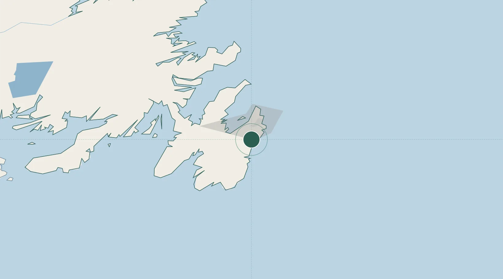
Place type
Populated place
Region
Newfoundland and Labrador
Population
1,566
Time zone
America/St_Johns
Elevation
7 m
Location
Nearby Logistics Neighbours
Cities
- 1Holyrood23 km
- 2Paradise24 km
- 3Saint-John's27 km
- 4Avondale29 km
- 5Conception Bay South30 km
Ports
- 1St John's28 km
- 2Bay Roberts43 km
- 3Argentia87 km
- 4Come By Chance Harbor103 km
- 5Clarenville126 km
Airports
- 1St. John's International Airport32 km
- 2Gander International Airport220 km
- 3Saint-Pierre Pointe-Blanche Airport261 km
- 4Miquelon Airport269 km
- 5Fogo Airport278 km
Trade Zones
- 1Crossroads Business Park221 km
- 2Cape Breton Regional Municipality Foreign Trade Zone617 km
- 3Halifax Gateway882 km
- 4Saint John1041 km
- 5FTZ No. 179 Madawaska1167 km
DatabookThe Record of Consolidated Knowledge
Canada beyond logistics?