Transport Functions
Port
Road
Hub Profile
Region
NL
Logistics facilities
1
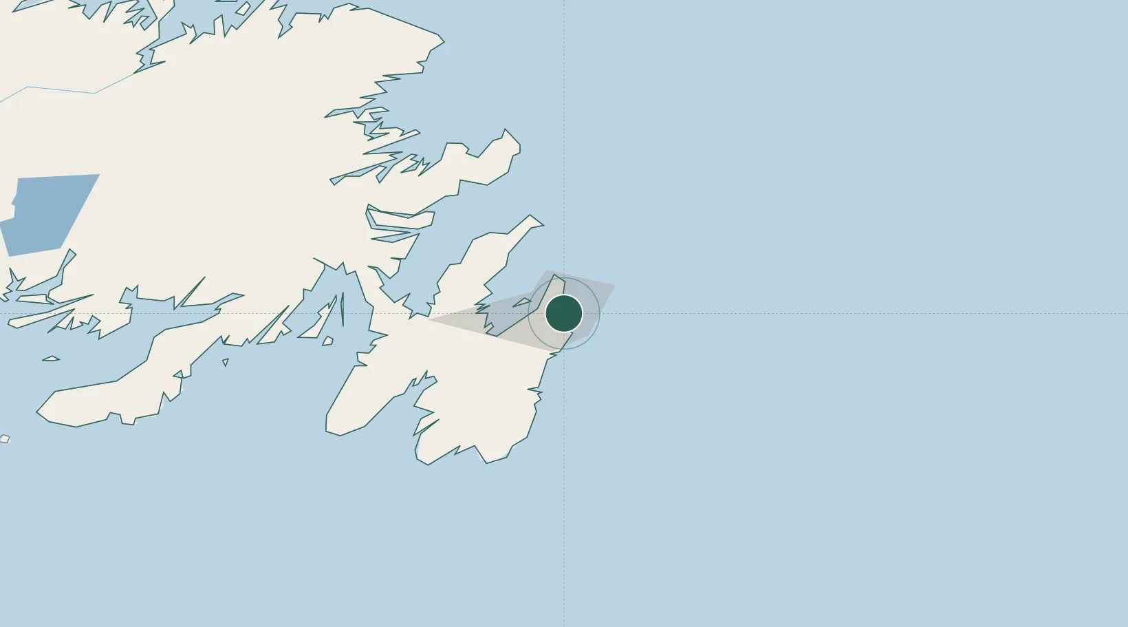
Location
Nearby Logistics Neighbours
Cities
- 1Conception Bay South11 km
- 2Paradise13 km
- 3Bay Bulls27 km
- 4Holyrood37 km
- 5Avondale40 km
Ports
- 1Bay Bulls28 km
- 2Bay Roberts42 km
- 3Argentia100 km
- 4Come By Chance Harbor101 km
- 5Catalina Harbor110 km
Airports
- 1St. John's International Airport7 km
- 2Gander International Airport206 km
- 3Fogo Airport259 km
- 4Saint-Pierre Pointe-Blanche Airport276 km
- 5Miquelon Airport281 km
Trade Zones
- 1Crossroads Business Park207 km
- 2Cape Breton Regional Municipality Foreign Trade Zone630 km
- 3Halifax Gateway897 km
- 4Saint John1054 km
- 5FTZ No. 179 Madawaska1174 km
DatabookThe Record of Consolidated Knowledge
Canada beyond logistics?