Transport Functions
Port
Road
Hub Profile
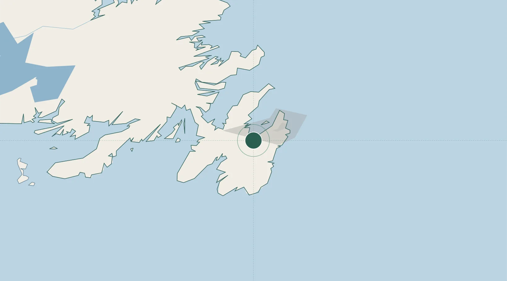
Place type
Populated place
Region
Newfoundland and Labrador
Population
2,471
Time zone
America/St_Johns
Elevation
13 m
Location
Nearby Logistics Neighbours
Cities
- 1Avondale6 km
- 2Bay Bulls23 km
- 3Coley's Point24 km
- 4Bay Roberts26 km
- 5Paradise26 km
Ports
- 1Bay Roberts25 km
- 2Bay Bulls25 km
- 3St John's38 km
- 4Argentia65 km
- 5Come By Chance Harbor81 km
Airports
- 1St. John's International Airport39 km
- 2Gander International Airport203 km
- 3Saint-Pierre Pointe-Blanche Airport240 km
- 4Miquelon Airport247 km
- 5Fogo Airport266 km
Trade Zones
- 1Crossroads Business Park204 km
- 2Cape Breton Regional Municipality Foreign Trade Zone595 km
- 3Halifax Gateway861 km
- 4Saint John1019 km
- 5FTZ No. 179 Madawaska1144 km
DatabookThe Record of Consolidated Knowledge
Canada beyond logistics?