UN/LOCODE hub · Canada
CAZBL
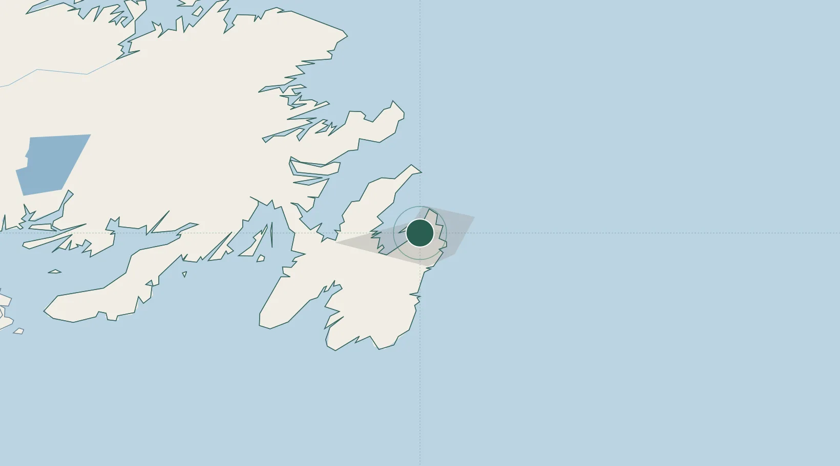
Conception Bay South
47.6000°, -52.8500°
17,087
Population
1
Transport functions
Transport Functions
Multimodal
Hub Profile
Place type
Populated place
Region
Newfoundland and Labrador
Population
17,087
Time zone
America/St_Johns
Elevation
48 m
Location
Nearby Logistics Neighbours
Cities
- 1Paradise6 km
- 2Saint-John's11 km
- 3Bay Bulls30 km
- 4Coley's Point31 km
- 5Harbour Grace31 km
Ports
- 1St John's12 km
- 2Bay Roberts31 km
- 3Bay Bulls32 km
- 4Come By Chance Harbor90 km
- 5Argentia92 km
Airports
- 1St. John's International Airport8 km
- 2Gander International Airport196 km
- 3Fogo Airport251 km
- 4Saint-Pierre Pointe-Blanche Airport268 km
- 5Miquelon Airport272 km
Trade Zones
- 1Crossroads Business Park197 km
- 2Cape Breton Regional Municipality Foreign Trade Zone621 km
- 3Halifax Gateway889 km
- 4Saint John1044 km
- 5FTZ No. 179 Madawaska1164 km
DatabookThe Record of Consolidated Knowledge
Canada beyond logistics?