Transport Functions
Port
Hub Profile
Place type
Populated place
Region
Pennsylvania
Time zone
America/New_York
Elevation
392 m
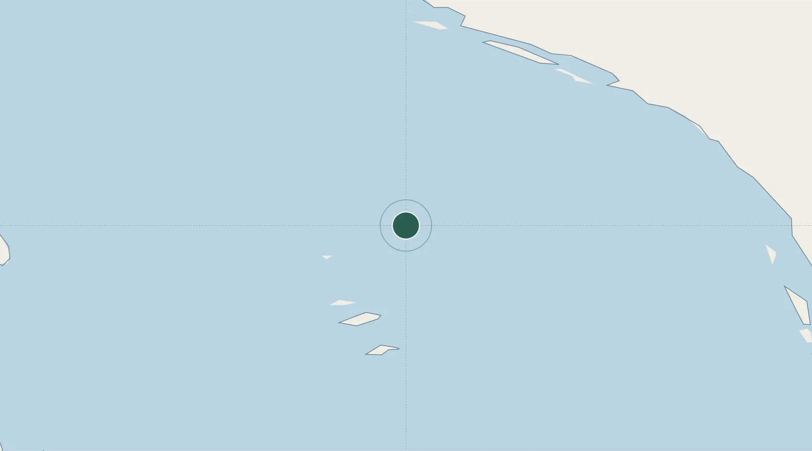
Location
Nearby Logistics Neighbours
Cities
- 1Kovik Bay435 km
- 2Coral Harbour768 km
- 3Lansdowne862 km
- 4Moonbeam960 km
- 5Iroquois Falls1001 km
Ports
- 1Deception Bay538 km
- 2Chicoutimi (Port Saguenay)1130 km
- 3Heron Bay1135 km
- 4La Baie (Port Alfred)1145 km
- 5Baie Comeau1148 km
Airports
- 1Inukjuak Airport92 km
- 2Sanikiluaq Airport138 km
- 3Umiujaq Airport162 km
- 4Kuujjuarapik Airport265 km
- 5Puvirnituq Airport272 km
Trade Zones
- 1Québec City FTZ1292 km
- 2FTZ No. 016 Sault Ste. Marie1310 km
- 3FTZ No. 179 Madawaska1331 km
- 4Greater Montreal Free Zone Center1387 km
- 5FTZ No. 118 Ogdensburg1451 km
DatabookThe Record of Consolidated Knowledge
United States beyond logistics?