Small airport · Canada
Akulivik AirportCYKO
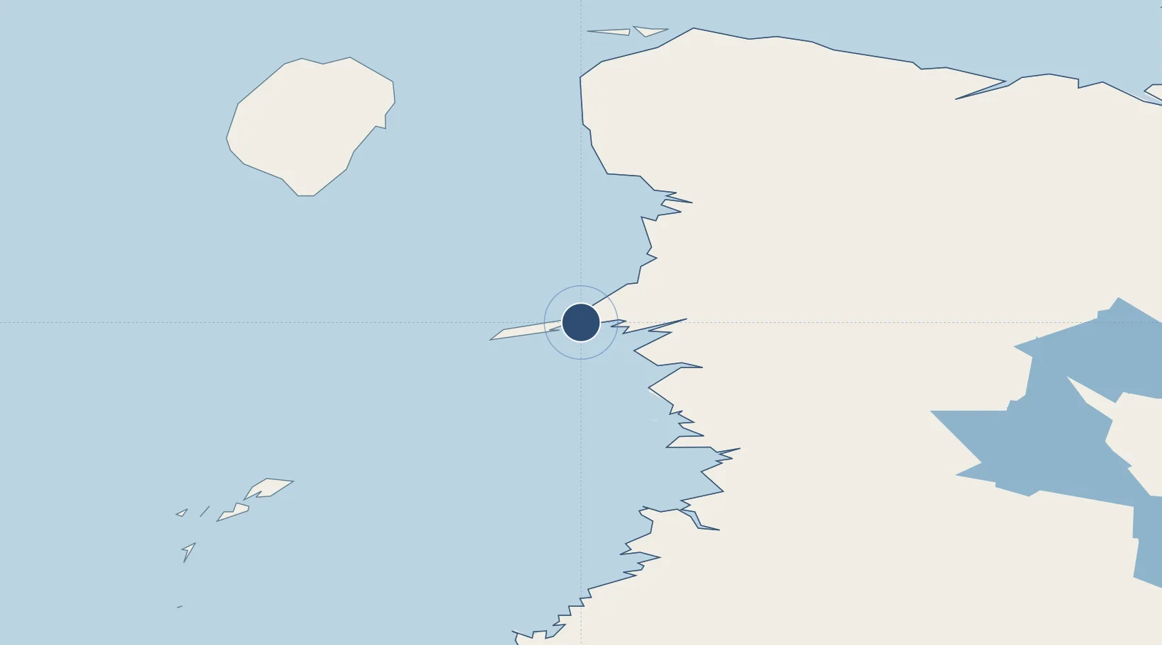
60.8186°, -78.1486°
3,510 ft
Longest runway
1
Runways
75 ft
Elevation
Runway & Layout

Radio Frequencies
ATF
122.1 MHz
MF/CTAF
INFO
122.1 MHz
ARPT RDO
RDO
126.7 MHz
QUEBEC RDO
Runways · 1
| Runway | Dimensions | Surface | True heading | Lit |
|---|---|---|---|---|
| 08/26 | 3,510 × 100ft | Gravel | 063° | ✓ |
Airport Specifications
IATA code
AKV
ICAO code
CYKO
Airport class
Small airport
Scheduled service
Yes
Runway surface
Gravel
Served city
Akulivik
Location
Nearby Logistics Neighbours
Airports
- 1Puvirnituq Airport98 km
- 2Ivujivik Airport178 km
- 3Salluit Airport201 km
- 4Inukjuak Airport261 km
- 5Kangiqsujuaq (Wakeham Bay) Airport344 km
Cities
- 1Kovik Bay84 km
- 2Breezewood352 km
- 3Coral Harbour450 km
- 4Iqaluit594 km
- 5Kuujjuaq628 km
Ports
- 1Deception Bay236 km
- 2Pangnirtung851 km
- 3Pond Inlet1328 km
- 4Sept Iles1389 km
- 5Pointe Noire1389 km
Trade Zones
- 1Québec City FTZ1618 km
- 2FTZ No. 179 Madawaska1632 km
- 3FTZ No. 016 Sault Ste. Marie1645 km
- 4Winnipegs Centreport Canada1696 km
- 5Greater Montreal Free Zone Center1729 km
DatabookThe Record of Consolidated Knowledge
Canada beyond logistics?