Transport Functions
Port
Hub Profile
Place type
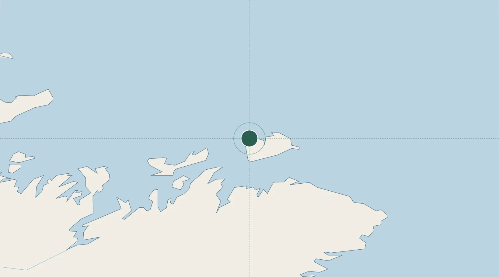
Populated place
Region
Newfoundland and Labrador
Time zone
America/St_Johns
Elevation
1 m
Location
Nearby Logistics Neighbours
Cities
- 1Change Islands11 km
- 2Seldom16 km
- 3Twillingate34 km
- 4Carmanville39 km
- 5Comfort Cove60 km
Ports
- 1Carmanville35 km
- 2Twillingate36 km
- 3Lewisporte76 km
- 4Botwood100 km
- 5Springdale131 km
Airports
- 1Fogo Airport7 km
- 2Gander International Airport89 km
- 3St. Anthony Airport226 km
- 4Deer Lake Airport232 km
- 5St. John's International Airport259 km
Trade Zones
- 1Crossroads Business Park88 km
- 2Cape Breton Regional Municipality Foreign Trade Zone622 km
- 3Halifax Gateway900 km
- 4Saint John1012 km
- 5FTZ No. 179 Madawaska1069 km
DatabookThe Record of Consolidated Knowledge
Canada beyond logistics?