Transport Functions
Port
Road
Hub Profile
Place type
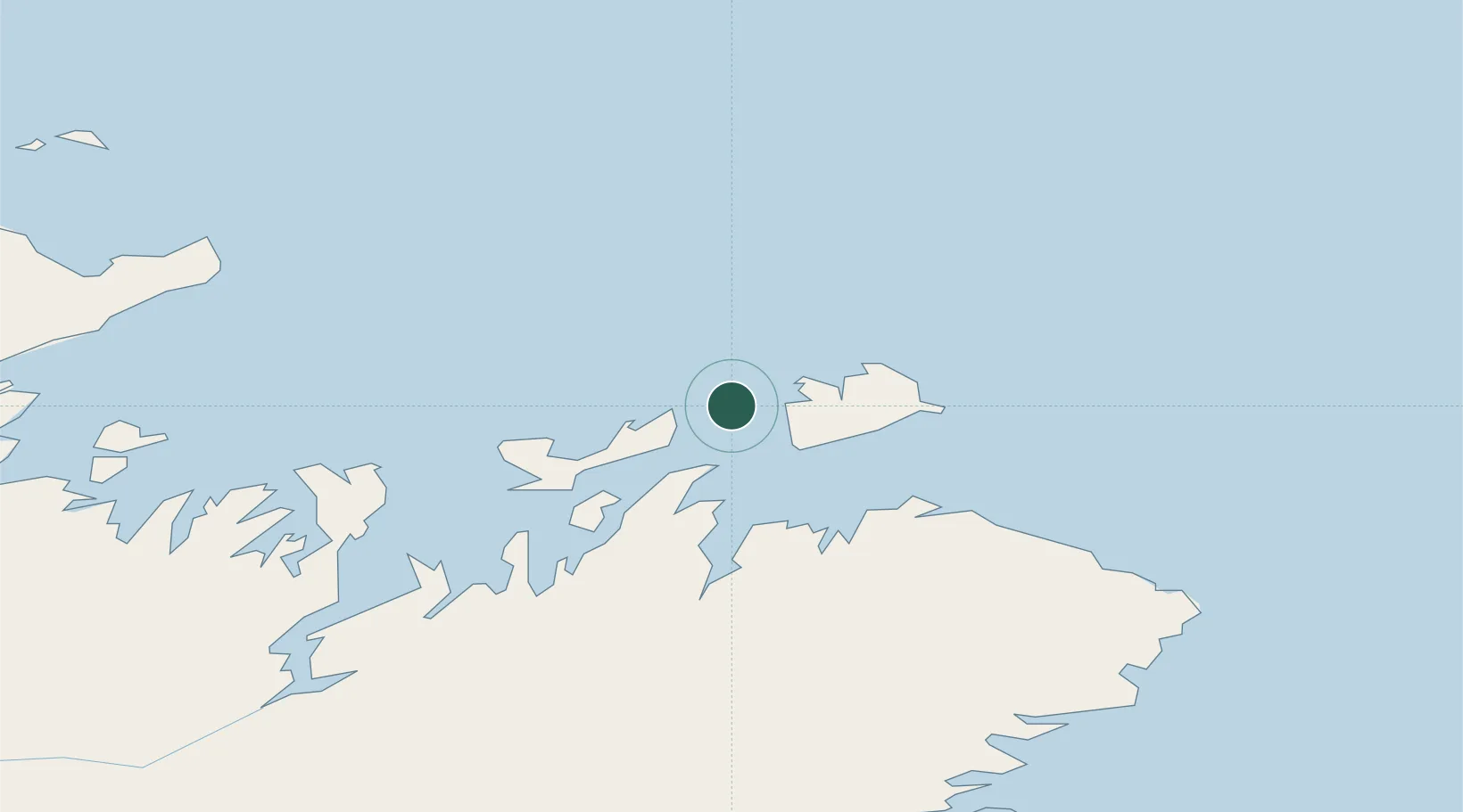
Populated place
Region
Newfoundland and Labrador
Time zone
America/St_Johns
Location
Nearby Logistics Neighbours
Cities
- 1Fogo11 km
- 2Seldom20 km
- 3Twillingate24 km
- 4Carmanville35 km
- 5Comfort Cove49 km
Ports
- 1Twillingate25 km
- 2Carmanville32 km
- 3Lewisporte65 km
- 4Botwood89 km
- 5Springdale120 km
Airports
- 1Fogo Airport13 km
- 2Gander International Airport82 km
- 3Deer Lake Airport221 km
- 4St. Anthony Airport225 km
- 5St. John's International Airport259 km
Trade Zones
- 1Crossroads Business Park81 km
- 2Cape Breton Regional Municipality Foreign Trade Zone611 km
- 3Halifax Gateway889 km
- 4Saint John1001 km
- 5FTZ No. 179 Madawaska1058 km
DatabookThe Record of Consolidated Knowledge
Canada beyond logistics?