Transport Functions
Port
Road
Hub Profile
Place type
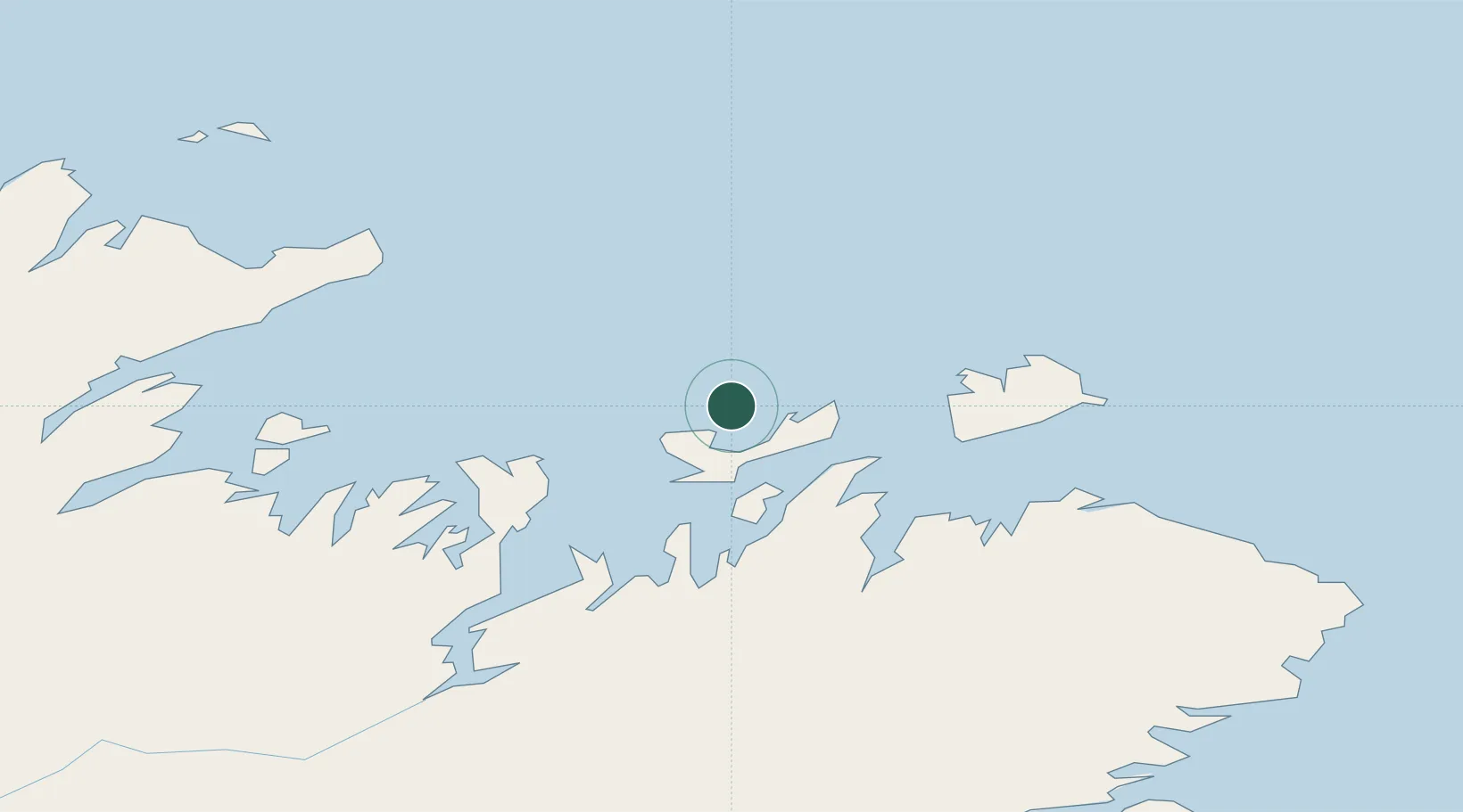
Populated place
Region
Newfoundland and Labrador
Population
2,121
Time zone
America/St_Johns
Elevation
3 m
Location
Nearby Logistics Neighbours
Cities
- 1Change Islands24 km
- 2Fogo34 km
- 3Comfort Cove36 km
- 4Seldom42 km
- 5Carmanville47 km
Ports
- 1Carmanville45 km
- 2Lewisporte50 km
- 3Botwood71 km
- 4Springdale96 km
- 5Baie Verte108 km
Airports
- 1Fogo Airport37 km
- 2Gander International Airport81 km
- 3Deer Lake Airport198 km
- 4St. Anthony Airport215 km
- 5Lourdes-de-Blanc-Sablon Airport263 km
Trade Zones
- 1Crossroads Business Park79 km
- 2Cape Breton Regional Municipality Foreign Trade Zone591 km
- 3Halifax Gateway868 km
- 4Saint John979 km
- 5FTZ No. 179 Madawaska1035 km
DatabookThe Record of Consolidated Knowledge
Canada beyond logistics?