Transport Functions
Port
Road
Hub Profile
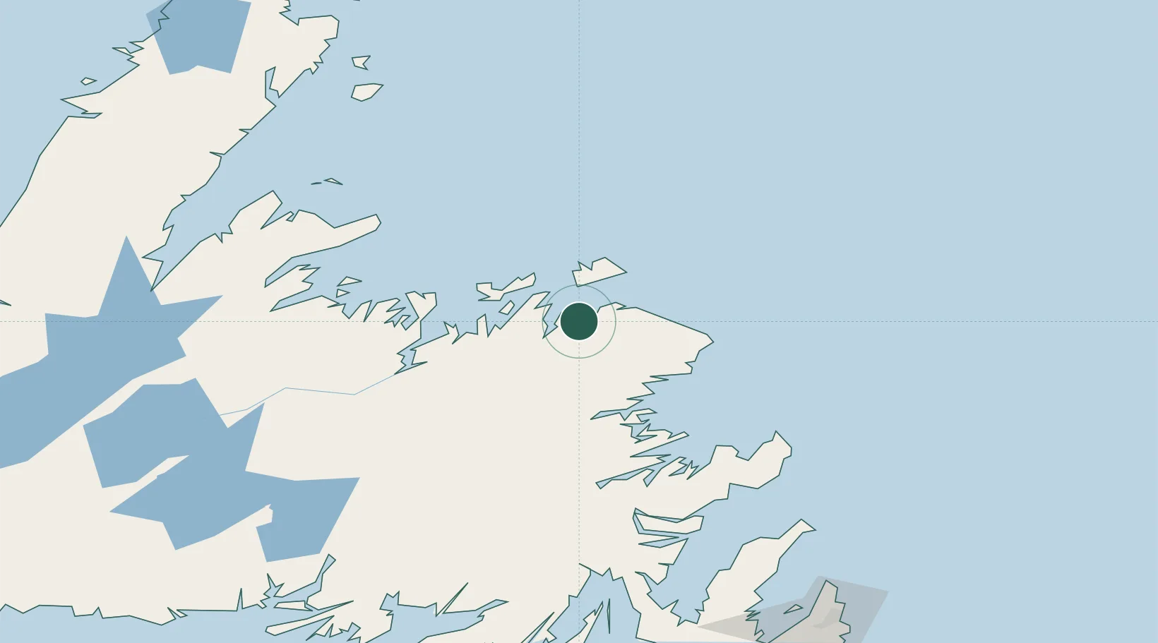
Place type
Populated place
Region
Newfoundland and Labrador
Population
784
Time zone
America/St_Johns
Elevation
42 m
Location
Nearby Logistics Neighbours
Cities
- 1Seldom27 km
- 2Change Islands35 km
- 3Fogo39 km
- 4Comfort Cove44 km
- 5Twillingate47 km
Ports
- 1Twillingate48 km
- 2Lewisporte58 km
- 3Botwood82 km
- 4Catalina Harbor129 km
- 5Springdale131 km
Airports
- 1Fogo Airport32 km
- 2Gander International Airport53 km
- 3St. John's International Airport224 km
- 4Deer Lake Airport228 km
- 5St. Anthony Airport259 km
Trade Zones
- 1Crossroads Business Park52 km
- 2Cape Breton Regional Municipality Foreign Trade Zone601 km
- 3Halifax Gateway879 km
- 4Saint John998 km
- 5FTZ No. 179 Madawaska1064 km
DatabookThe Record of Consolidated Knowledge
Canada beyond logistics?