UN/LOCODE hub · Canada
CASEM

Seldom

49.6000°, -54.1667°
2
Transport functions

Transport Functions

Port
Road
UN/LOCODE

Hub Profile

Region
NL
GeoNames

Location

Location of CASEM
Natural Earth 10m (public domain) · NL · CASEM · 49.60, -54.17GoogleOSMYandex

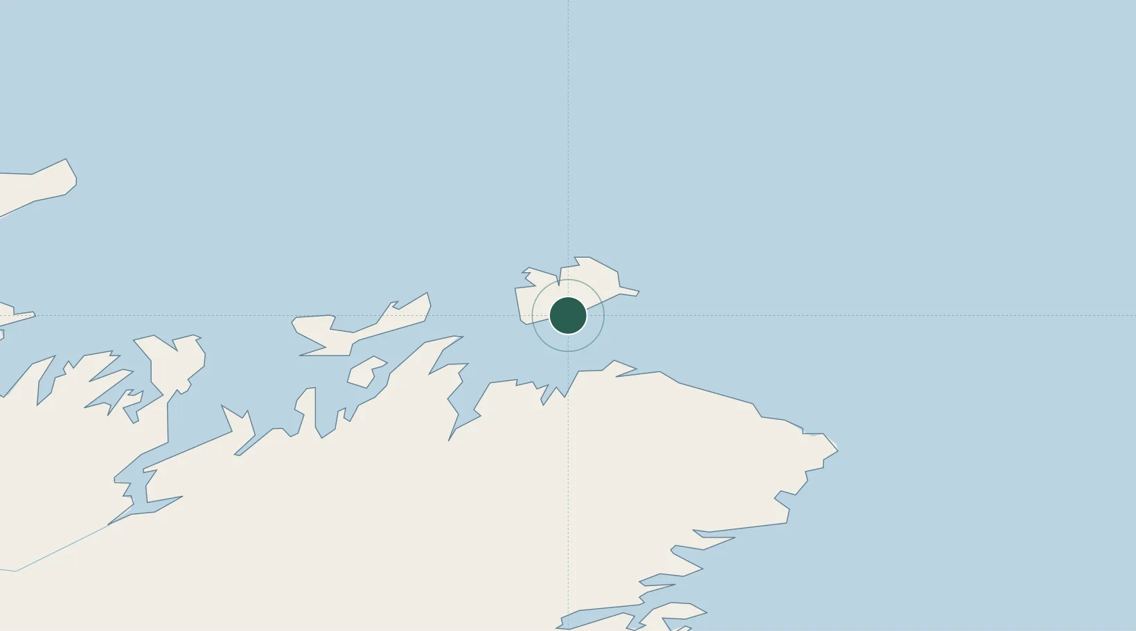
Nearby Logistics Neighbours

Cities
  1. 1Fogo16 km
  2. 2Change Islands20 km
  3. 3Carmanville27 km
  4. 4Twillingate42 km
  5. 5Comfort Cove59 km
Nearest neighbours — logibook spatial index (haversine) over the source coordinates
Ports
  1. 1Carmanville23 km
  2. 2Twillingate44 km
  3. 3Lewisporte75 km
  4. 4Botwood99 km
  5. 5Springdale138 km
Nearest neighbours — logibook spatial index (haversine) over the source coordinates
Airports
  1. 1Fogo Airport8 km
  2. 2Gander International Airport79 km
  3. 3Deer Lake Airport238 km
  4. 4St. Anthony Airport241 km
  5. 5St. John's International Airport244 km
Nearest neighbours — logibook spatial index (haversine) over the source coordinates
Trade Zones
  1. 1Crossroads Business Park79 km
  2. 2Cape Breton Regional Municipality Foreign Trade Zone622 km
  3. 3Halifax Gateway899 km
  4. 4Saint John1015 km
  5. 5FTZ No. 179 Madawaska1075 km
Nearest neighbours — logibook spatial index (haversine) over the source coordinates
DatabookThe Record of Consolidated Knowledge
Canada beyond logistics?
Browse databook

All Sources

LocationsUN/LOCODE
UN/LOCODE — free
Portsthe NGA World Port Index
Public domain (US gov)
AirportsOurAirports
Public domain
Trade Zonesthe World Bank SEZ database
CC BY 4.0
Trade ZonesOpen Zone Map
CC BY
← Canada locations