Transport Functions
Port
Road
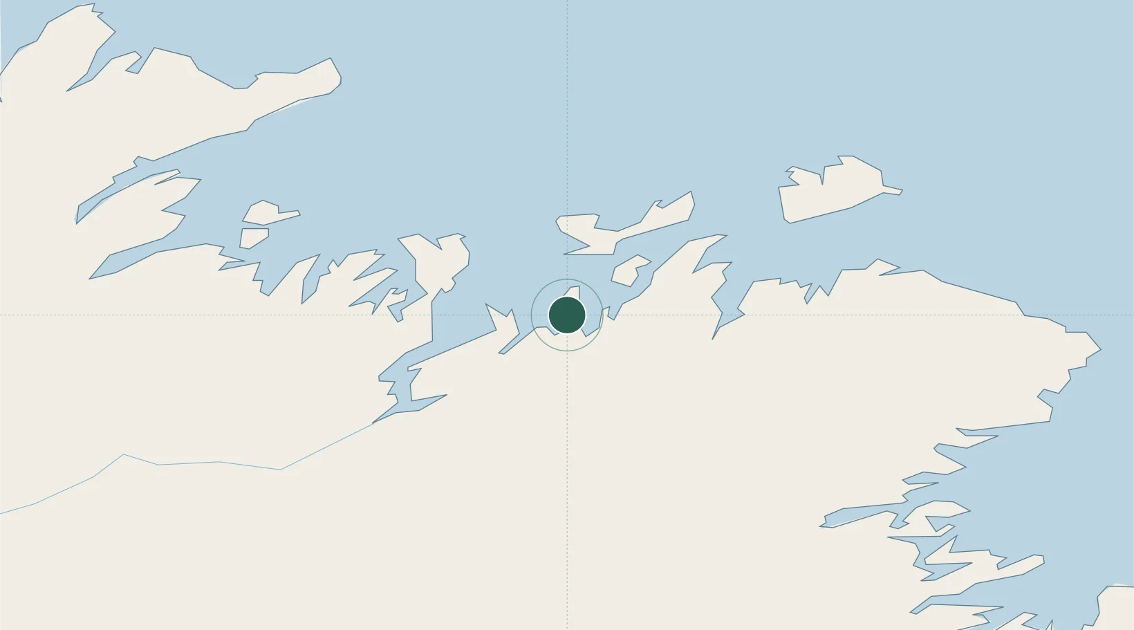
Hub Profile
Region
NL
Location
Nearby Logistics Neighbours
Cities
- 1Lewisporte18 km
- 2Twillingate36 km
- 3Botwood42 km
- 4Carmanville44 km
- 5Gander49 km
Ports
- 1Lewisporte16 km
- 2Twillingate36 km
- 3Botwood41 km
- 4Carmanville44 km
- 5Springdale89 km
Airports
- 1Gander International Airport49 km
- 2Fogo Airport58 km
- 3Deer Lake Airport184 km
- 4St. Anthony Airport245 km
- 5St. John's International Airport246 km
Trade Zones
- 1Crossroads Business Park48 km
- 2Cape Breton Regional Municipality Foreign Trade Zone563 km
- 3Halifax Gateway841 km
- 4Saint John956 km
- 5FTZ No. 179 Madawaska1021 km
DatabookThe Record of Consolidated Knowledge
Canada beyond logistics?