Transport Functions
Port
Road
Hub Profile
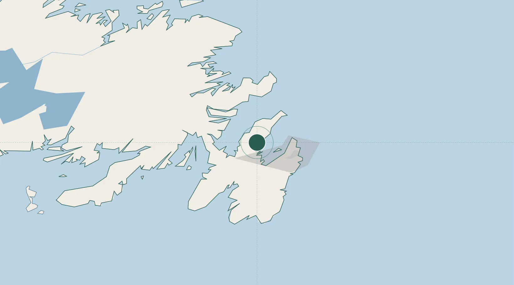
Place type
Populated place
Region
Newfoundland and Labrador
Population
4,838
Time zone
America/St_Johns
Elevation
16 m
Location
Nearby Logistics Neighbours
Cities
- 1Harbour Grace6 km
- 2Spaniards Bay14 km
- 3Coley's Point17 km
- 4Bay Roberts17 km
- 5New Harbour27 km
Ports
- 1Bay Roberts16 km
- 2St John's45 km
- 3Bay Bulls57 km
- 4Come By Chance Harbor58 km
- 5Clarenville72 km
Airports
- 1St. John's International Airport39 km
- 2Gander International Airport166 km
- 3Fogo Airport226 km
- 4Saint-Pierre Pointe-Blanche Airport246 km
- 5Miquelon Airport246 km
Trade Zones
- 1Crossroads Business Park167 km
- 2Cape Breton Regional Municipality Foreign Trade Zone595 km
- 3Halifax Gateway865 km
- 4Saint John1017 km
- 5FTZ No. 179 Madawaska1133 km
DatabookThe Record of Consolidated Knowledge
Canada beyond logistics?