Transport Functions
Port
Road
Hub Profile
Place type
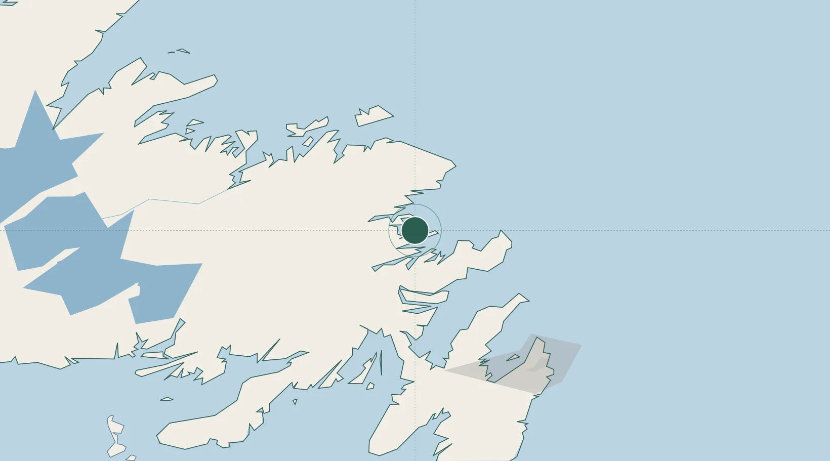
Populated place
Region
Newfoundland and Labrador
Time zone
America/St_Johns
Elevation
4 m
Location
Nearby Logistics Neighbours
Cities
- 1Centreville32 km
- 2Catalina57 km
- 3Gander62 km
- 4Clarenville62 km
- 5Carmanville82 km
Ports
- 1Catalina Harbor57 km
- 2Clarenville60 km
- 3Carmanville85 km
- 4Come By Chance Harbor101 km
- 5Lewisporte110 km
Airports
- 1Gander International Airport62 km
- 2Fogo Airport111 km
- 3St. John's International Airport143 km
- 4Miquelon Airport262 km
- 5Deer Lake Airport269 km
Trade Zones
- 1Crossroads Business Park63 km
- 2Cape Breton Regional Municipality Foreign Trade Zone594 km
- 3Halifax Gateway871 km
- 4Saint John1004 km
- 5FTZ No. 179 Madawaska1092 km
DatabookThe Record of Consolidated Knowledge
Canada beyond logistics?