Transport Functions
Port
Road
Hub Profile
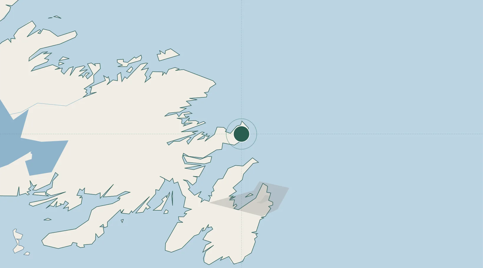
Place type
Populated place
Region
Newfoundland and Labrador
Population
845
Time zone
America/St_Johns
Elevation
16 m
Location
Nearby Logistics Neighbours
Cities
- 1Burnside57 km
- 2Hants Harbour57 km
- 3Clarenville77 km
- 4Centreville79 km
- 5Carbonear88 km
Ports
- 1Clarenville75 km
- 2Bay Roberts104 km
- 3Come By Chance Harbor106 km
- 4St John's109 km
- 5Carmanville131 km
Airports
- 1St. John's International Airport103 km
- 2Gander International Airport119 km
- 3Fogo Airport152 km
- 4Miquelon Airport293 km
- 5Saint-Pierre Pointe-Blanche Airport303 km
Trade Zones
- 1Crossroads Business Park120 km
- 2Cape Breton Regional Municipality Foreign Trade Zone634 km
- 3Halifax Gateway909 km
- 4Saint John1049 km
- 5FTZ No. 179 Madawaska1144 km
DatabookThe Record of Consolidated Knowledge
Canada beyond logistics?