Transport Functions
Rail
Road
Airport
Hub Profile
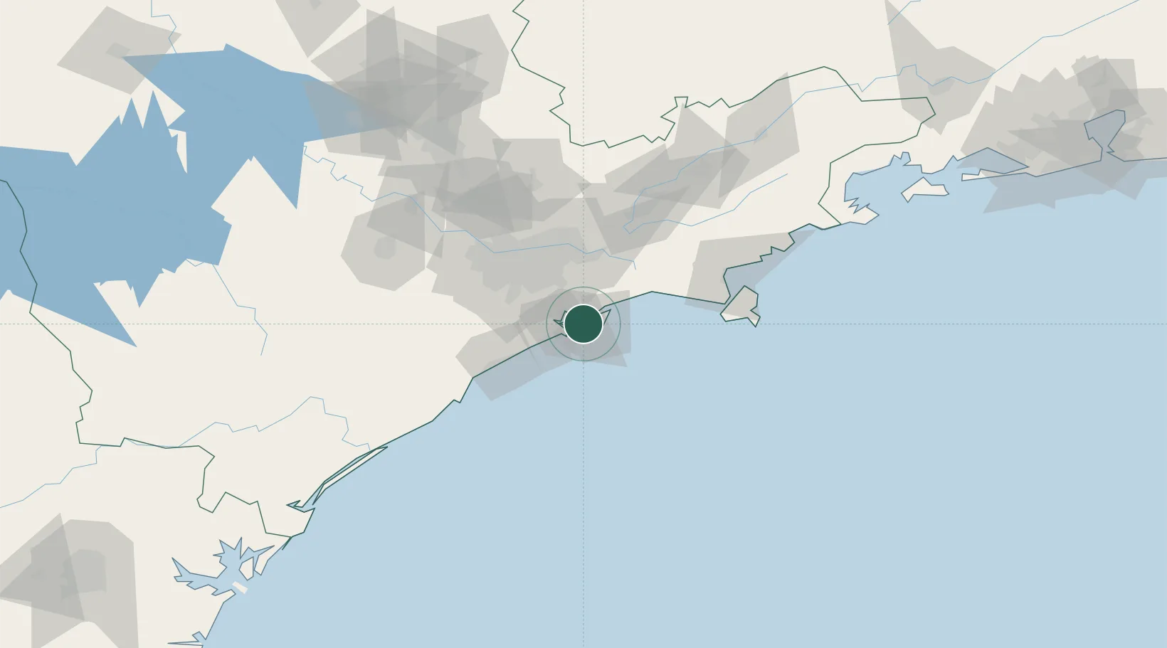
Place type
Populated place
Region
Tocantins
Population
89,574
Time zone
America/Araguaina
Elevation
299 m
Logistics facilities
4
Location
Nearby Logistics Neighbours
Cities
- 1São Paulo3 km
- 2Guarujá4 km
- 3Santos8 km
- 4São Vicente15 km
- 5Cubatão16 km
Ports
- 1Santos3 km
- 2Sao Sebastiao91 km
- 3Angra Dos Reis225 km
- 4Paranagua285 km
- 5Rio De Janeiro338 km
Airports
Trade Zones
- 1ZPE de Itaguaí (RJ)280 km
- 2ZPE de Imbituba (SC)467 km
- 3ZPE de Uberaba (MG)505 km
- 4ZPE de Fernandópolis (SP)578 km
- 5ZPE do Açú (RJ)585 km
DatabookThe Record of Consolidated Knowledge
Brazil beyond logistics?