UN/LOCODE hub · Brazil
BRSSZ
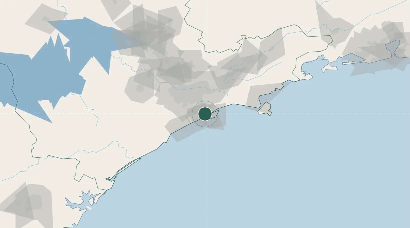
Santos
-23.9302°, -46.3507°
433,656
Population
4
Transport functions
5
Container terminals
Transport Functions
Port
Rail
Road
Multimodal
Hub Profile
Place type
Provincial seat
Region
São Paulo
Population
433,656
Time zone
America/Sao_Paulo
Elevation
12 m
Logistics facilities
62
Container terminals
5
Location
Nearby Logistics Neighbours
Cities
- 1Guarujá5 km
- 2São Vicente8 km
- 3Gurupi8 km
- 4São Paulo9 km
- 5Cubatão9 km
Ports
- 1Sao Sebastiao98 km
- 2Angra Dos Reis231 km
- 3Paranagua280 km
- 4Rio De Janeiro345 km
- 5Sao Francisco346 km
Airports
Trade Zones
- 1ZPE de Itaguaí (RJ)286 km
- 2ZPE de Imbituba (SC)465 km
- 3ZPE de Uberaba (MG)500 km
- 4ZPE de Fernandópolis (SP)571 km
- 5ZPE do Açú (RJ)592 km
DatabookThe Record of Consolidated Knowledge
Brazil beyond logistics?