Transport Functions
Port
Road
Airport
Hub Profile
Place type
Populated place
Region
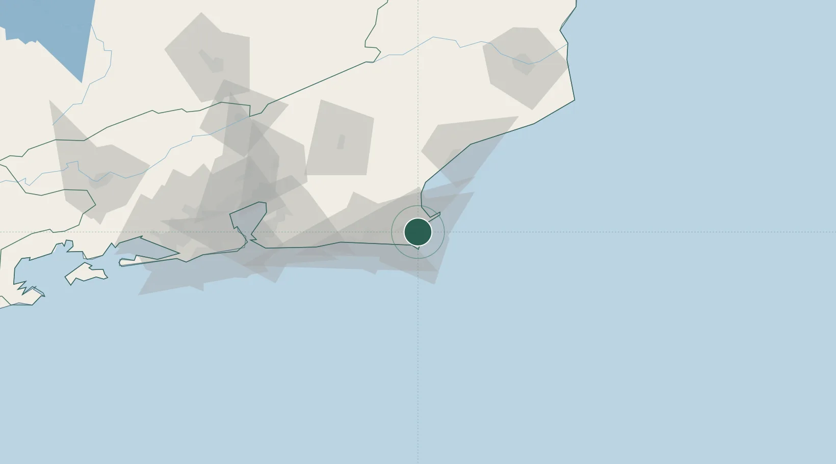
Rio de Janeiro
Population
238,166
Time zone
America/Sao_Paulo
Elevation
13 m
Location
Nearby Logistics Neighbours
Cities
- 1Forno Pt / Arraial do Cabo11 km
- 2Armação dos Búzios19 km
- 3Macaé61 km
- 4Maricá82 km
- 5São Gonçalo103 km
Ports
- 1Porto Do Forno11 km
- 2Macae61 km
- 3Niteroi113 km
- 4Rio De Janeiro118 km
- 5Angra Dos Reis236 km
Airports
Trade Zones
- 1ZPE do Açú (RJ)152 km
- 2ZPE de Itaguaí (RJ)180 km
- 3ZPE de Aracruz (ES)403 km
- 4ZPE de Teófilo Otoni (MG)559 km
- 5ZPE de Uberaba (MG)712 km
DatabookThe Record of Consolidated Knowledge
Brazil beyond logistics?