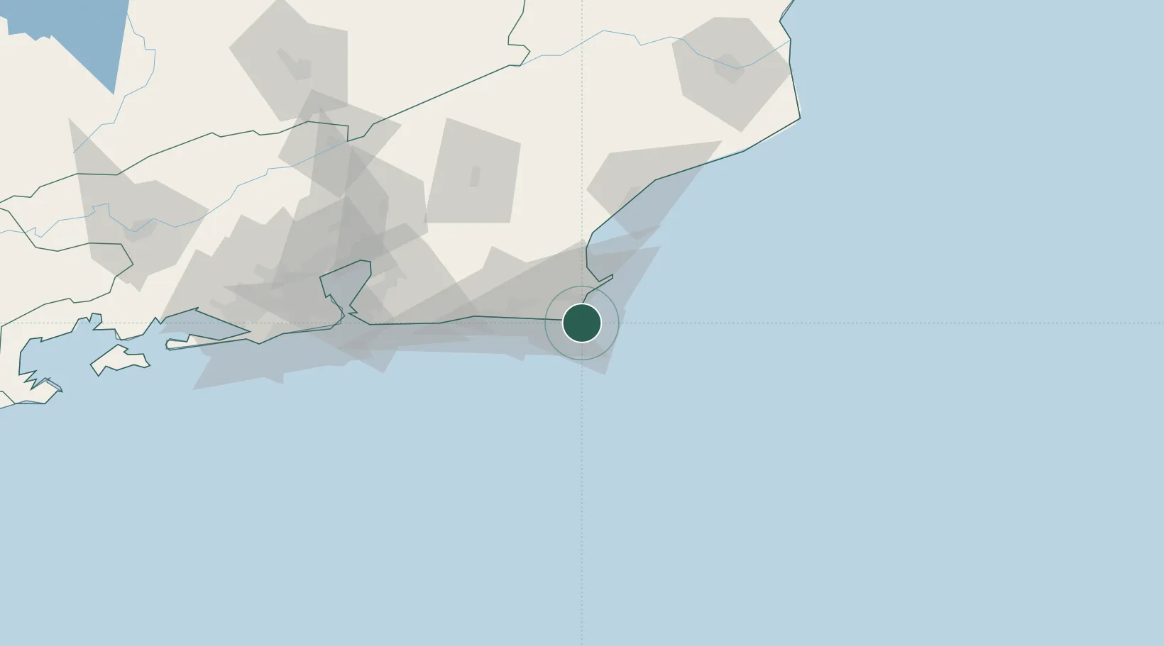
UN/LOCODE hub · Brazil
BRFNO

Forno Pt / Arraial do Cabo

-22.9667°, -42.0167°
1
Transport functions

Transport Functions

Port
Forno Pt / Arraial do Cabo is also a profiled seaport →
UN/LOCODE

Hub Profile

Region
RJ
GeoNames

Location

Location of BRFNO
Natural Earth 10m (public domain) · RJ · BRFNO · -22.97, -42.02GoogleOSMYandex

Nearby Logistics Neighbours

Cities
  1. 1Cabo Frio11 km
  2. 2Armação dos Búzios28 km
  3. 3Macaé72 km
  4. 4Maricá82 km
  5. 5São Gonçalo104 km
Nearest neighbours — logibook spatial index (haversine) over the source coordinates
Ports
  1. 1Macae72 km
  2. 2Niteroi113 km
  3. 3Rio De Janeiro118 km
  4. 4Angra Dos Reis236 km
  5. 5Vitoria342 km
Nearest neighbours — logibook spatial index (haversine) over the source coordinates
Airports
  1. 1Cabo Frio Airport8 km
  2. 2Umberto Modiano Airport23 km
  3. 3Macaé Benedito Lacerda Airport74 km
  4. 4Santos Dumont Airport118 km
  5. 5Rio Galeão – Tom Jobim International Airport128 km
Nearest neighbours — logibook spatial index (haversine) over the source coordinates
Trade Zones
  1. 1ZPE do Açú (RJ)161 km
  2. 2ZPE de Itaguaí (RJ)180 km
  3. 3ZPE de Aracruz (ES)412 km
  4. 4ZPE de Teófilo Otoni (MG)570 km
  5. 5ZPE de Uberaba (MG)717 km
Nearest neighbours — logibook spatial index (haversine) over the source coordinates
DatabookThe Record of Consolidated Knowledge
Brazil beyond logistics?
Browse databook

All Sources

LocationsUN/LOCODE
UN/LOCODE — free
Portsthe NGA World Port Index
Public domain (US gov)
AirportsOurAirports
Public domain
Trade Zonesthe World Bank SEZ database
CC BY 4.0
Trade ZonesOpen Zone Map
CC BY
← Brazil locations