UN/LOCODE hub · Brazil
BRABZ
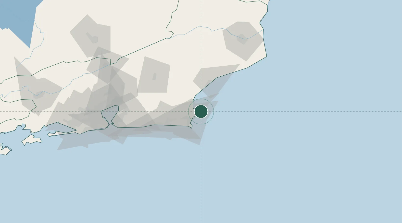
Armação dos Búzios
-22.7500°, -41.8833°
42,442
Population
2
Transport functions
Transport Functions
Port
Road
Hub Profile
Place type
Populated place
Region
Rio de Janeiro
Population
42,442
Time zone
America/Sao_Paulo
Elevation
9 m
Location
Nearby Logistics Neighbours
Cities
- 1Cabo Frio19 km
- 2Forno Pt / Arraial do Cabo28 km
- 3Macaé44 km
- 4Maricá97 km
- 5São Gonçalo116 km
Ports
- 1Porto Do Forno28 km
- 2Macae44 km
- 3Niteroi127 km
- 4Rio De Janeiro133 km
- 5Angra Dos Reis251 km
Airports
- 1Umberto Modiano Airport9 km
- 2Cabo Frio Airport27 km
- 3Macaé Benedito Lacerda Airport47 km
- 4Bartolomeu Lisandro Airport131 km
- 5Santos Dumont Airport132 km
Trade Zones
- 1ZPE do Açú (RJ)134 km
- 2ZPE de Itaguaí (RJ)195 km
- 3ZPE de Aracruz (ES)384 km
- 4ZPE de Teófilo Otoni (MG)545 km
- 5ZPE de Uberaba (MG)718 km
DatabookThe Record of Consolidated Knowledge
Brazil beyond logistics?