Medium airport · Brazil

João Durval Carneiro AirportSDIY
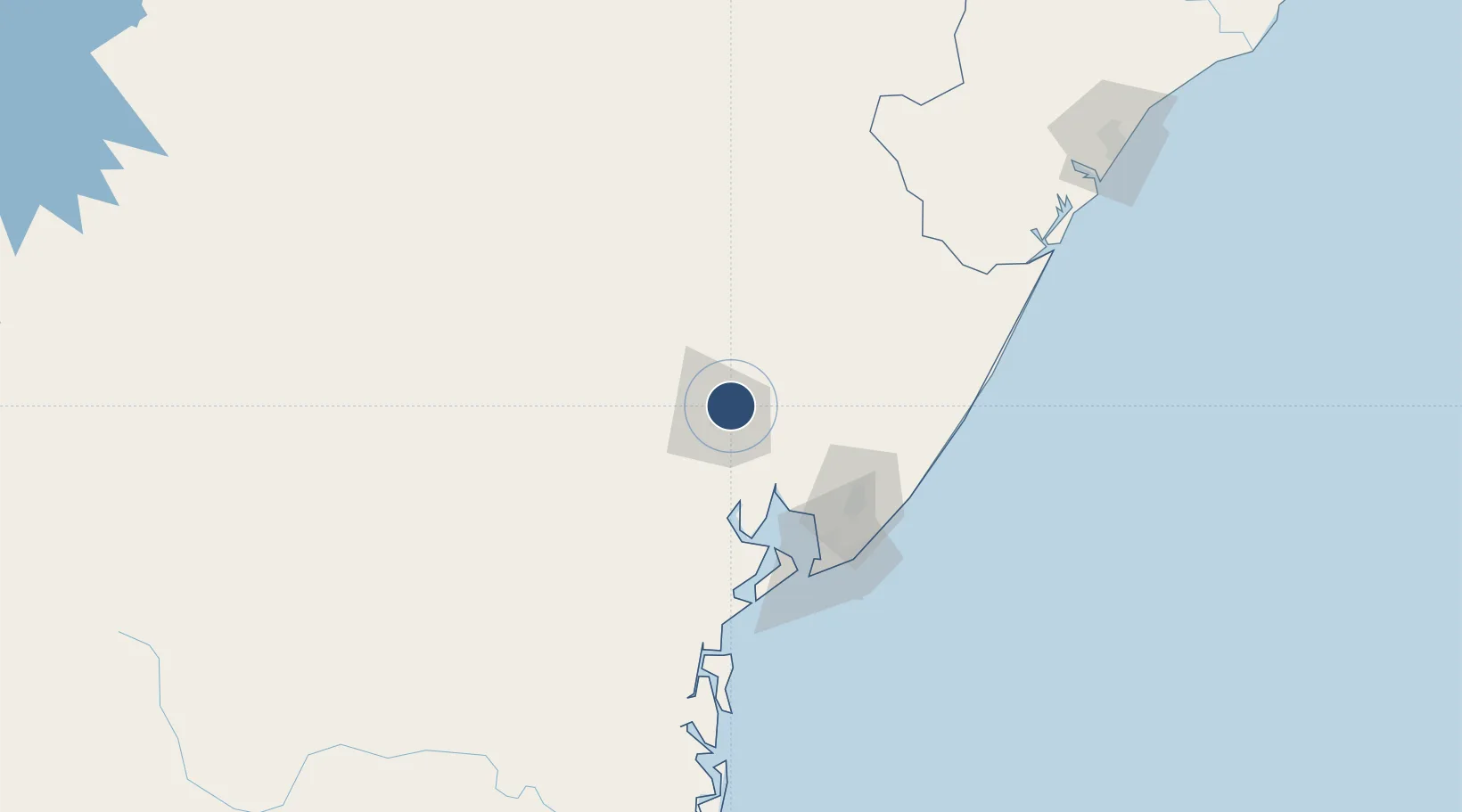
-12.2007°, -38.9062°
4,921 ft
Longest runway
1
Runways
781 ft
Elevation

Runway & Layout

João Durval Carneiro Airport runway & taxiway layout
Runway & taxiway layout — OpenStreetMap (ODbL) / OurAirports

Runways · 1

RunwayDimensions SurfaceTrue headingLit
13/31 4,921 × 98ft Asphalt
OurAirports

Airport Specifications

IATA code
FEC
OurAirports
ICAO code
SDIY
OurAirports
Airport class
Medium airport
OurAirports
Scheduled service
Yes
OurAirports
Runway surface
Asphalt
OurAirports
Served city
Feira de Santana
OurAirports

Location

Location of SDIY
Natural Earth 10m (public domain) · Bahia · SDIY · -12.20, -38.91GoogleOSMYandex

Nearby Logistics Neighbours

Airports
  1. 1Deputado Luiz Eduardo Magalhães International Airport101 km
  2. 2Valença Airport122 km
  3. 3Morro de São Paulo Airport137 km
  4. 4Fazenda Rosa do Deserto Airstrip148 km
  5. 5Barra Grande Airport190 km
Nearest neighbours — logibook spatial index (haversine) over the source coordinates
Cities
  1. 1Maragogipe63 km
  2. 2Candeias66 km
  3. 3Madre de Deus68 km
  4. 4Pojuca68 km
  5. 5Aratu Pt / Candeias78 km
Nearest neighbours — logibook spatial index (haversine) over the source coordinates
Ports
  1. 1Madre De Deus69 km
  2. 2Aratu78 km
  3. 3Port De Salvador95 km
  4. 4Port De Aracaju248 km
  5. 5Port Of Ilheus287 km
Nearest neighbours — logibook spatial index (haversine) over the source coordinates
Trade Zones
  1. 1ZPE de Barra dos Coqueiros (SE)250 km
  2. 2Zona Franca Ilhéus (BA)268 km
  3. 3ZPE de Suape (PE)604 km
  4. 4ZPE de Teófilo Otoni (MG)688 km
  5. 5ZPE de João Pessoa (PB)710 km
Nearest neighbours — logibook spatial index (haversine) over the source coordinates
DatabookThe Record of Consolidated Knowledge
Brazil beyond logistics?
Browse databook

All Sources

AirportsOurAirports
Public domain
Portsthe NGA World Port Index
Public domain (US gov)
LocationsUN/LOCODE
UN/LOCODE — free
Trade Zonesthe World Bank SEZ database
CC BY 4.0
Trade ZonesOpen Zone Map
CC BY
InfrastructureOpenStreetMap
ODbL 1.0
← Brazil airports