Large airport · Brazil
Deputado Luiz Eduardo Magalhães International AirportSBSV
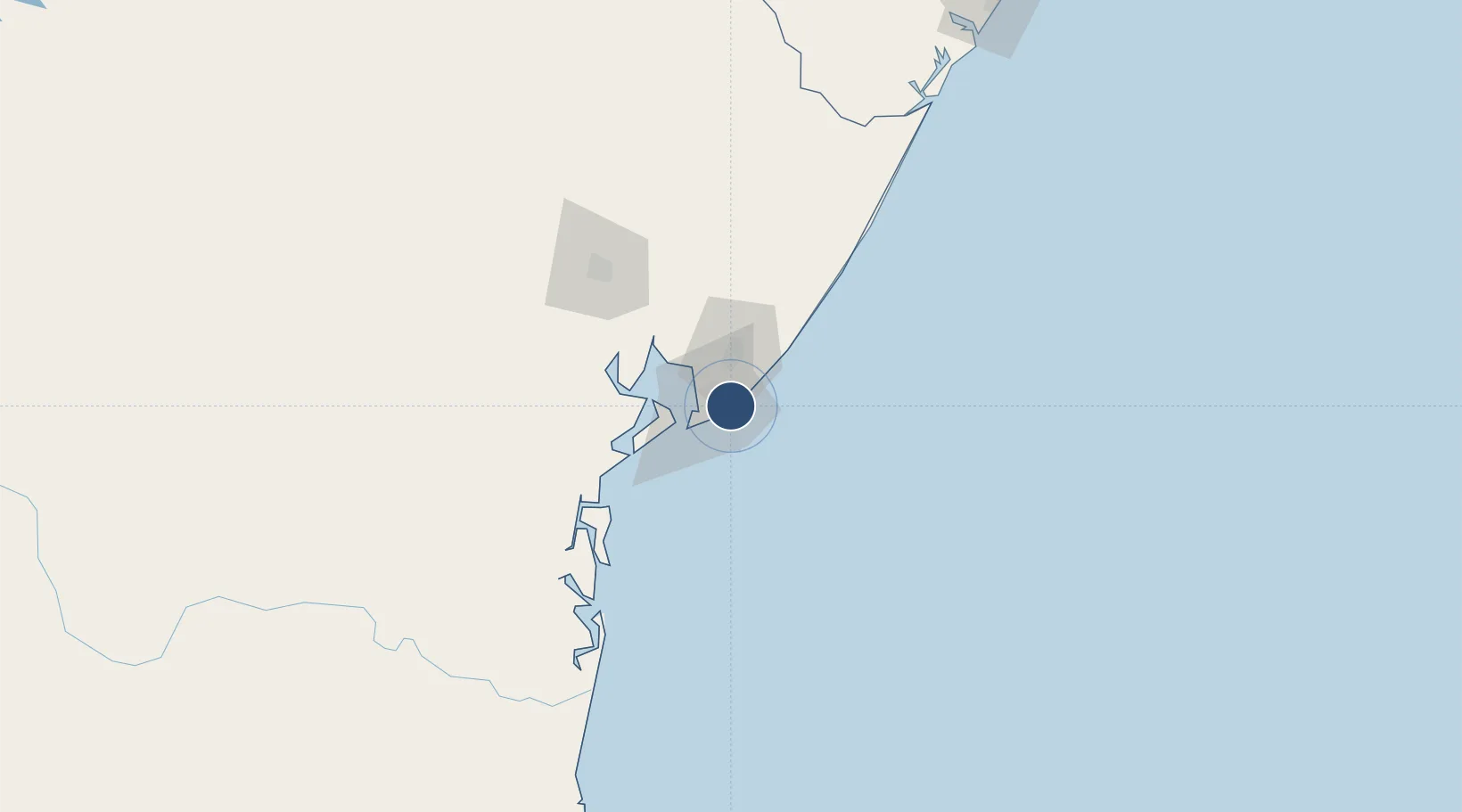
-12.9086°, -38.3225°
9,859 ft
Longest runway
2
Runways
64 ft
Elevation
Runway & Layout

Radio Frequencies
ATIS
127.75 MHz
SALVADOR ATIS
TWR
118.3 MHz
SALVADOR TWR
GND
121.9 MHz
CLD
121.1 MHz
SALVADOR TRAFFIC
APP
120.8 MHz
SALVADOR CON
OPS
122.5 MHz
SALVADOR OPS
Navaids
AGN NDB Alagoinhas 310 kHz
IS NDB Cimbra 220 kHz
IV NDB Ipitanga 240 kHz
SVD VOR-DME Salvador 116.50 MHz
SVD NDB Salvador 275 kHz
Runways · 2
| Runway | Dimensions | Surface | True heading | Lit |
|---|---|---|---|---|
| 10/28 | 9,859 × 148ft | Asphalt | 078° | ✓ |
| 17/35 | 4,987 × 148ft | Asphalt | 143° | ✓ |
Airport Specifications
IATA code
SSA
ICAO code
SBSV
Airport class
Large airport
Scheduled service
Yes
Runway surface
Asphalt
Served city
Salvador
Location
Nearby Logistics Neighbours
Airports
- 1Valença Airport84 km
- 2Morro de São Paulo Airport86 km
- 3João Durval Carneiro Airport101 km
- 4Barra Grande Airport130 km
- 5Fazenda Rosa do Deserto Airstrip160 km
Cities
- 1Simões Filho14 km
- 2Aratu Pt / Candeias24 km
- 3Camaçari25 km
- 4Candeias35 km
- 5Madre de Deus36 km
Ports
- 1Port De Salvador22 km
- 2Aratu24 km
- 3Madre De Deus36 km
- 4Port Of Ilheus222 km
- 5Port De Aracaju261 km
Trade Zones
- 1Zona Franca Ilhéus (BA)214 km
- 2ZPE de Barra dos Coqueiros (SE)264 km
- 3ZPE de Suape (PE)621 km
- 4ZPE de Teófilo Otoni (MG)647 km
- 5ZPE de João Pessoa (PB)739 km
DatabookThe Record of Consolidated Knowledge
Brazil beyond logistics?