Transport Functions
Multimodal
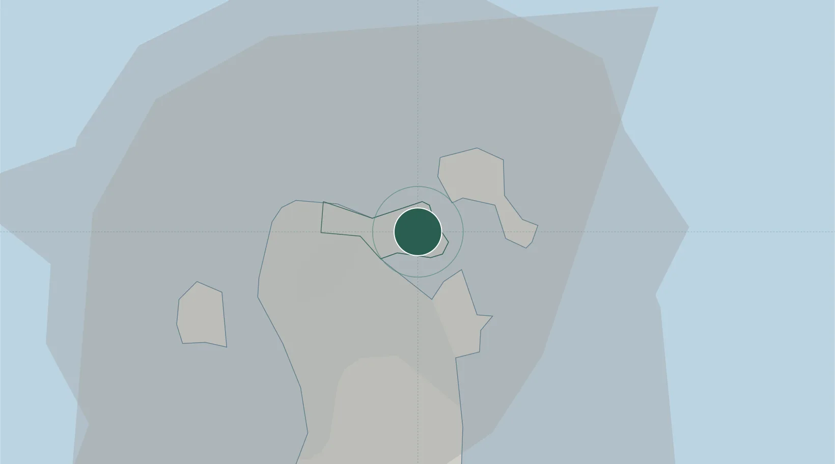
Hub Profile
Place type
Urban district
Time zone
Asia/Bahrain
Elevation
0 m
Location
Nearby Logistics Neighbours
Cities
- 1Umm al Hassam2 km
- 2Al Manamah3 km
- 3Khalifa Bin Salman Port4 km
- 4Mina Sulman Port4 km
- 5Al Muharraq4 km
Ports
- 1Al Manamah2 km
- 2Mina Salman5 km
- 3Sitrah10 km
- 4Khalifa Bin Salman17 km
- 5Dammam50 km
Airports
DatabookThe Record of Consolidated Knowledge
Bahrain beyond logistics?