Transport Functions
Multimodal
Hub Profile
Place type
Populated place
Region
Southern Governorate
Time zone
Asia/Bahrain
Elevation
2 m
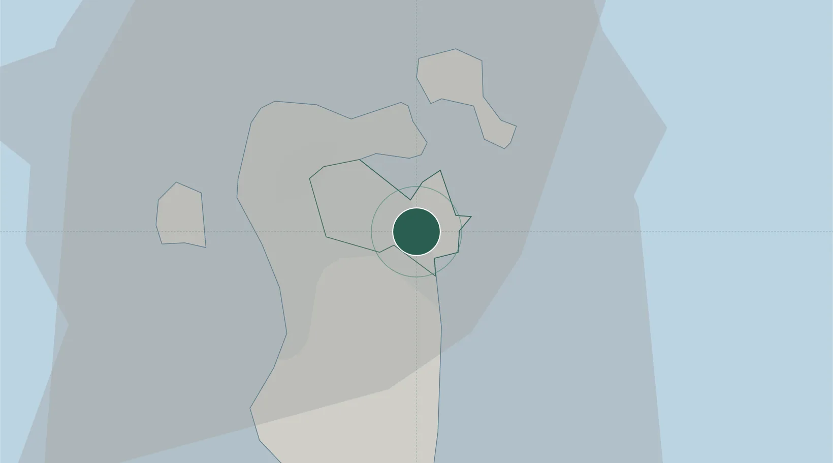
Location
Nearby Logistics Neighbours
Cities
- 1Sanad4 km
- 2Sitrah5 km
- 3Jidd 'Ali6 km
- 4Khalifa Bin Salman Port8 km
- 5Mina Sulman Port8 km
Ports
- 1Sitrah8 km
- 2Mina Salman8 km
- 3Al Manamah11 km
- 4Khalifa Bin Salman20 km
- 5Dammam57 km
Airports
- 1Bahrain International Airport15 km
- 2Sheik Isa Air Base24 km
- 3King Abdulaziz Air Base47 km
- 4Ras Tanura Airport87 km
- 5King Fahd International Airport88 km
Trade Zones
DatabookThe Record of Consolidated Knowledge
Bahrain beyond logistics?