Transport Functions
Port
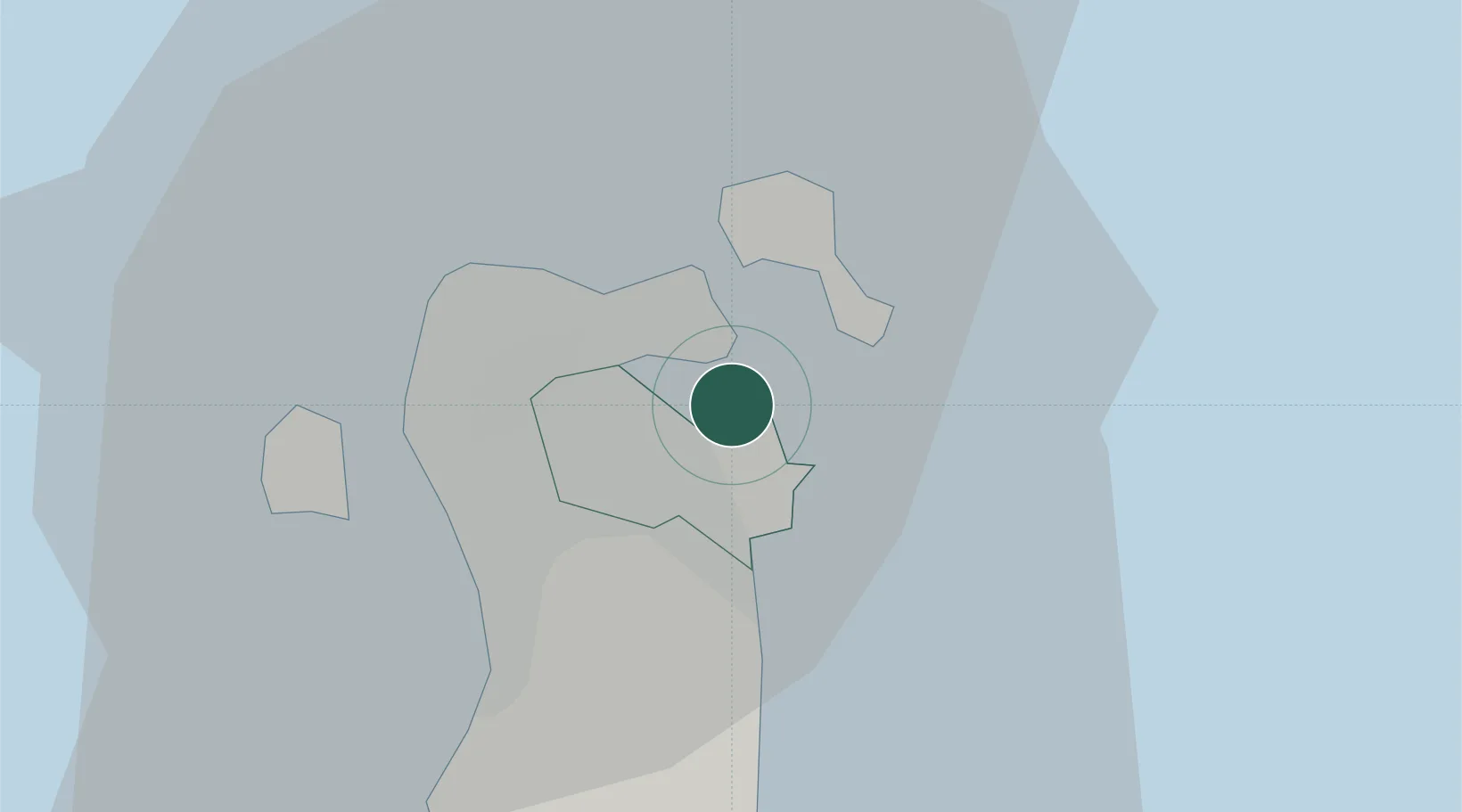
Hub Profile
Place type
Populated place
Region
Manama
Population
72,601
Time zone
Asia/Bahrain
Elevation
5 m
Logistics facilities
1
Location
Nearby Logistics Neighbours
Cities
- 1Khalifa Bin Salman Port3 km
- 2Mina Sulman Port3 km
- 3Umm al Hassam4 km
- 4Al Ma'amir5 km
- 5Sanad5 km
Ports
- 1Mina Salman4 km
- 2Al Manamah7 km
- 3Khalifa Bin Salman17 km
- 4Dammam54 km
- 5Ras Tannurah67 km
Airports
- 1Bahrain International Airport11 km
- 2Sheik Isa Air Base29 km
- 3King Abdulaziz Air Base46 km
- 4Ras Tanura Airport84 km
- 5King Fahd International Airport87 km
DatabookThe Record of Consolidated Knowledge
Bahrain beyond logistics?