Transport Functions
Multimodal
Hub Profile
Place type
Urban district
Region
Manama
Time zone
Asia/Bahrain
Elevation
6 m
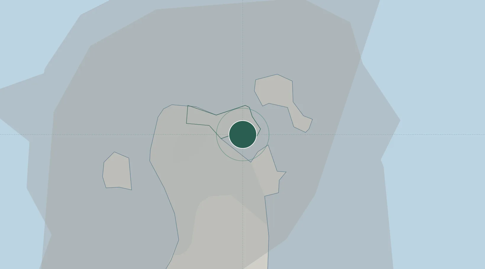
Location
Nearby Logistics Neighbours
Cities
- 1Adliya2 km
- 2Khalifa Bin Salman Port3 km
- 3Mina Sulman Port3 km
- 4Sitrah4 km
- 5Al Manamah4 km
Ports
- 1Al Manamah4 km
- 2Mina Salman5 km
- 3Sitrah9 km
- 4Khalifa Bin Salman18 km
- 5Dammam51 km
Airports
DatabookThe Record of Consolidated Knowledge
Bahrain beyond logistics?