UN/LOCODE hub · Aruba
AWORJ
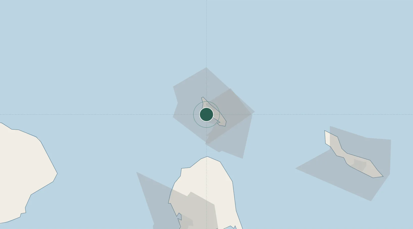
Oranjestad
12.5040°, -70.0241°
29,998
Population
2
Transport functions
2
Container terminals
Transport Functions
Port
Postal
Hub Profile
Place type
National capital
Population
29,998
Time zone
America/Aruba
Elevation
5 m
Logistics facilities
5
Container terminals
2
Location
Nearby Logistics Neighbours
Cities
- 1Barcadera4 km
- 2Aruba5 km
- 3Bushiribana8 km
- 4Punto Fijo93 km
- 5Guaranao95 km
Ports
- 1Sint Nicolaas Baai14 km
- 2Amuay (Bahia De Amuay)87 km
- 3Las Piedras92 km
- 4Punta Cardon100 km
- 5Bullen Baai113 km
Airports
DatabookThe Record of Consolidated Knowledge
Aruba beyond logistics?