UN/LOCODE hub · Australia
AUPER

Perth

-32.0358°, 115.7497°
2,309,338
Population
5
Transport functions

Transport Functions

Port
Rail
Road
Airport
Postal
UN/LOCODE

Hub Profile

Place type
Regional capital
GeoNames
Region
Western Australia
GeoNames
Population
2,309,338
GeoNames
Time zone
Australia/Perth
GeoNames
Elevation
34 m
GeoNames
Logistics facilities
1
UN/LOCODE

Location

Location of AUPER
Natural Earth 10m (public domain) · Western Australia · AUPER · -32.04, 115.75GoogleOSMYandex

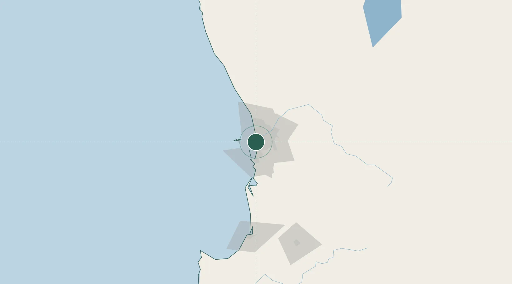
Nearby Logistics Neighbours

Cities
  1. 1Bicton3 km
  2. 2Hamilton Hill4 km
  3. 3Attadale4 km
  4. 4Mosman Park4 km
  5. 5Cottesloe4 km
Nearest neighbours — logibook spatial index (haversine) over the source coordinates
Ports
  1. 1Fremantle2 km
  2. 2Bunbury143 km
  3. 3Geraldton378 km
  4. 4Albany388 km
  5. 5Esperance609 km
Nearest neighbours — logibook spatial index (haversine) over the source coordinates
Airports
  1. 1Perth Jandakot Airport14 km
  2. 2Perth International Airport23 km
  3. 3RAAF Base Pearce48 km
  4. 4Busselton Margaret River Regional Airport187 km
  5. 5Karara Airport326 km
Nearest neighbours — logibook spatial index (haversine) over the source coordinates
Trade Zones
  1. 1KEK Mandalika2574 km
  2. 2Oecusse Ambeno Enclave Special Zone For Social Market Economy (Zeesm)2674 km
  3. 3KEK Singhasari2705 km
  4. 4Pasuruan Industrial Estate Rembang2733 km
  5. 5Ngoro Industrial Park2741 km
Nearest neighbours — logibook spatial index (haversine) over the source coordinates
DatabookThe Record of Consolidated Knowledge
Australia beyond logistics?
Browse databook

All Sources

LocationsUN/LOCODE
UN/LOCODE — free
LocationsGeoNames
CC BY 4.0
Portsthe NGA World Port Index
Public domain (US gov)
AirportsOurAirports
Public domain
Trade Zonesthe World Bank SEZ database
CC BY 4.0
Trade ZonesOpen Zone Map
CC BY
← Australia locations