Transport Functions
Port
Multimodal
Hub Profile
Place type
Urban district
Region
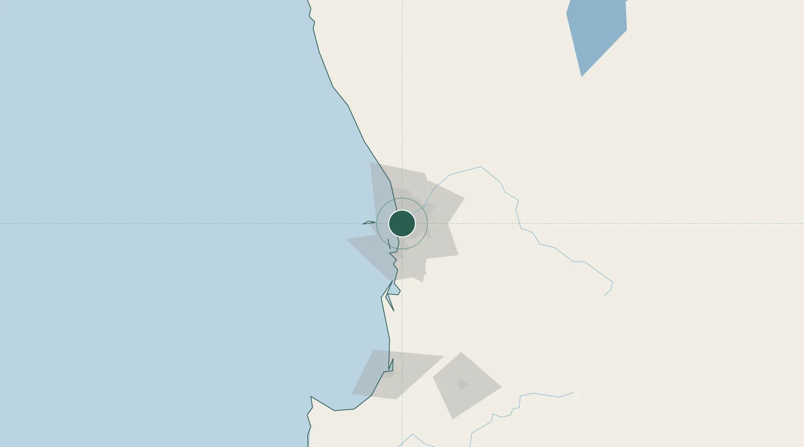
Western Australia
Population
6,196
Time zone
Australia/Perth
Elevation
17 m
Location
Nearby Logistics Neighbours
Cities
- 1Bicton2 km
- 2Cottesloe2 km
- 3Fremantle4 km
- 4Mosman Park4 km
- 5Claremont4 km
Airports
- 1Perth Jandakot Airport13 km
- 2Perth International Airport19 km
- 3RAAF Base Pearce45 km
- 4Busselton Margaret River Regional Airport189 km
- 5Karara Airport323 km
Trade Zones
- 1KEK Mandalika2572 km
- 2Oecusse Ambeno Enclave Special Zone For Social Market Economy (Zeesm)2671 km
- 3KEK Singhasari2703 km
- 4Pasuruan Industrial Estate Rembang2732 km
- 5Ngoro Industrial Park2739 km
DatabookThe Record of Consolidated Knowledge
Australia beyond logistics?