Small airport · American Samoa
Fitiuta AirportNSFQ
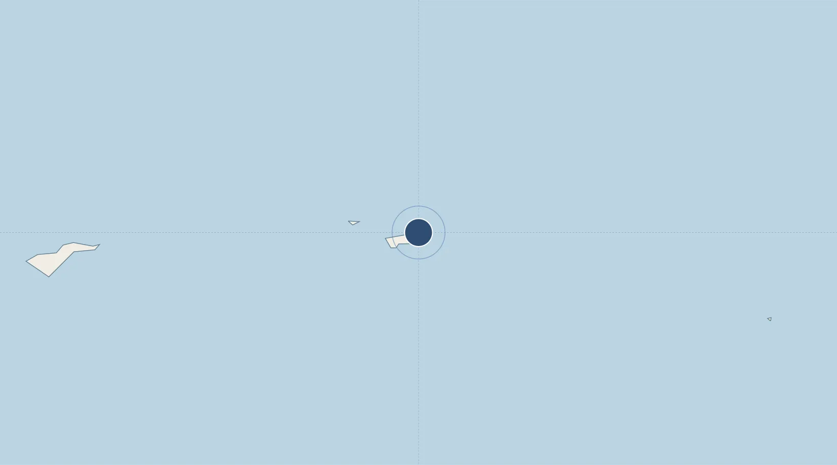
-14.2161°, -169.4238°
3,190 ft
Longest runway
1
Runways
110 ft
Elevation
Runway & Layout

Radio Frequencies
CTAF
122.9 MHz
Runways · 1
| Runway | Dimensions | Surface | True heading | Lit |
|---|---|---|---|---|
| 12/30 | 3,190 × 75ft | Concrete | 134° | ✓ |
Airport Specifications
IATA code
FTI
ICAO code
NSFQ
Airport class
Small airport
Scheduled service
Yes
Runway surface
Concrete
Served city
Fitiuta Village
Location
Nearby Logistics Neighbours
Airports
- 1Ofu Airport27 km
- 2Pago Pago International Airport139 km
- 3Faleolo International Airport282 km
- 4Kuini Lavenia Airport508 km
- 5Niue International Airport544 km
Ports
- 1Pago Pago Harbor134 km
- 2Apia257 km
- 3Alofi538 km
- 4Neiafu692 km
- 5Mata-Utu732 km
Trade Zones
- 1FTZ No. 009 Honolulu4146 km
- 2FTZ No. 205 Port Hueneme7556 km
- 3FTZ No. 003 San Francisco7582 km
- 4FTZ No. 018 San Jose7584 km
- 5FTZ No. 056 Oakland7591 km
DatabookThe Record of Consolidated Knowledge
American Samoa beyond logistics?