Small airport · American Samoa

Ofu AirportNSAS

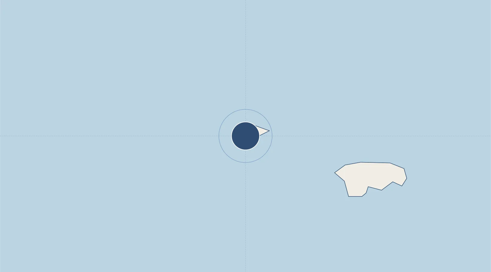
-14.1844°, -169.6700°
2,000 ft
Longest runway
1
Runways
9 ft
Elevation

Runway & Layout

Ofu Airport runway & taxiway layout
Runway & taxiway layout — OpenStreetMap (ODbL) / OurAirports

Runways · 1

RunwayDimensions SurfaceTrue headingLit
08/26 2,000 × 60ft CONC-G 098°
OurAirports

Airport Specifications

IATA code
OFU
OurAirports
ICAO code
NSAS
OurAirports
Airport class
Small airport
OurAirports
Scheduled service
Yes
OurAirports
Runway surface
CONC-G
OurAirports
Served city
Ofu
OurAirports

Location

Location of NSAS
Natural Earth 10m (public domain) · Manu's · NSAS · -14.18, -169.67GoogleOSMYandex

Nearby Logistics Neighbours

Airports
  1. 1Fitiuta Airport27 km
  2. 2Pago Pago International Airport113 km
  3. 3Faleolo International Airport255 km
  4. 4Kuini Lavenia Airport485 km
  5. 5Niue International Airport545 km
Nearest neighbours — logibook spatial index (haversine) over the source coordinates
Cities
  1. 1Alofi542 km
  2. 2Fakaofo563 km
  3. 3Nukunonu606 km
  4. 4Atafu701 km
  5. 5Matâ'utu711 km
Nearest neighbours — logibook spatial index (haversine) over the source coordinates
Ports
  1. 1Pago Pago Harbor108 km
  2. 2Apia230 km
  3. 3Alofi540 km
  4. 4Neiafu677 km
  5. 5Mata-Utu705 km
Nearest neighbours — logibook spatial index (haversine) over the source coordinates
Trade Zones
  1. 1FTZ No. 009 Honolulu4151 km
  2. 2FTZ No. 205 Port Hueneme7572 km
  3. 3FTZ No. 003 San Francisco7596 km
  4. 4FTZ No. 018 San Jose7598 km
  5. 5FTZ No. 056 Oakland7605 km
Nearest neighbours — logibook spatial index (haversine) over the source coordinates
DatabookThe Record of Consolidated Knowledge
American Samoa beyond logistics?
Browse databook

All Sources

AirportsOurAirports
Public domain
Portsthe NGA World Port Index
Public domain (US gov)
LocationsUN/LOCODE
UN/LOCODE — free
Trade Zonesthe World Bank SEZ database
CC BY 4.0
Trade ZonesOpen Zone Map
CC BY
← American Samoa airports