UN/LOCODE hub · United Arab Emirates
AERKP

Rak Khor Port

25.8167°, 55.9500°
1
Transport functions

Transport Functions

Port
UN/LOCODE

Hub Profile

Region
RK
GeoNames

Location

Location of AERKP
Natural Earth 10m (public domain) · RK · AERKP · 25.82, 55.95GoogleOSMYandex

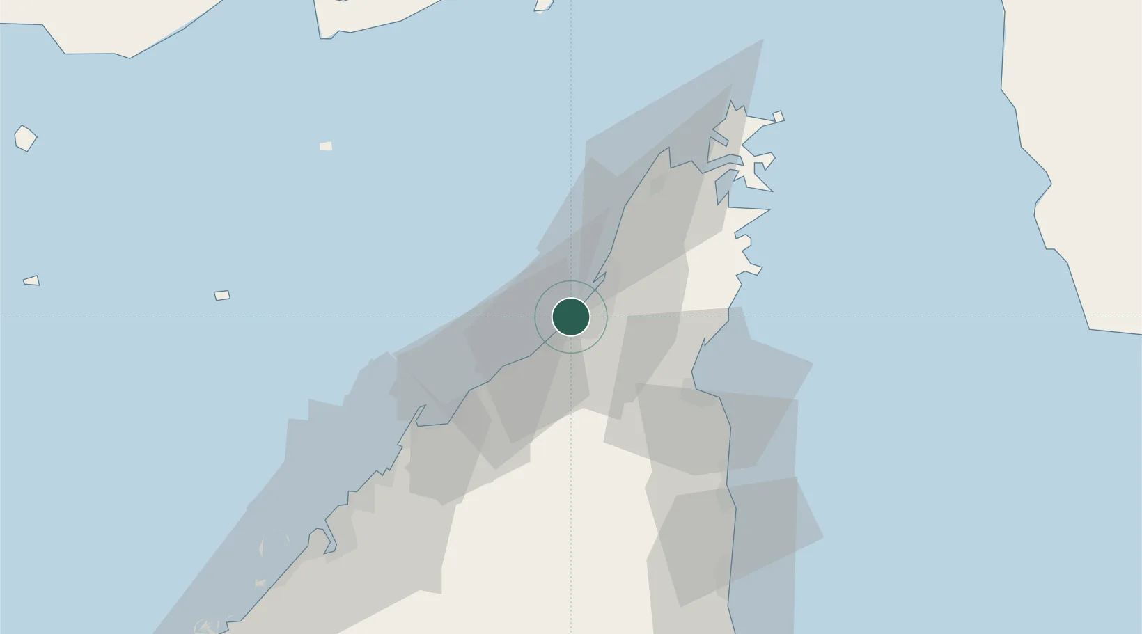
Nearby Logistics Neighbours

Cities
  1. 1Rak Maritime City18 km
  2. 2Hulaylah Terminal19 km
  3. 3Al Jazeera Port19 km
  4. 4Stevin Rock19 km
  5. 5Mina Saqr20 km
Nearest neighbours — logibook spatial index (haversine) over the source coordinates
Ports
  1. 1Hulaylah Oil Terminal19 km
  2. 2Al Jazeera Port20 km
  3. 3Mina Saqr21 km
  4. 4Umm Al Qaywayn45 km
  5. 5Khawr Khasab53 km
Nearest neighbours — logibook spatial index (haversine) over the source coordinates
Airports
  1. 1Ras Al Khaimah International Airport23 km
  2. 2Khasab Airport49 km
  3. 3Sharjah International Airport70 km
  4. 4Dubai International Airport86 km
  5. 5Fujairah International Airport87 km
Nearest neighbours — logibook spatial index (haversine) over the source coordinates
Trade Zones
  1. 1RAKEZ Academic Zone10 km
  2. 2RAK Maritime City Free Zone18 km
  3. 3RAKEZ Al Hamra Industrial Zone21 km
  4. 4Ras Al Khaimah Technology Park24 km
  5. 5Ras Al Khaimah Media Free Zone and Film City (RAKMFZ)24 km
Nearest neighbours — logibook spatial index (haversine) over the source coordinates
DatabookThe Record of Consolidated Knowledge
United Arab Emirates beyond logistics?
Browse databook

All Sources

LocationsUN/LOCODE
UN/LOCODE — free
Portsthe NGA World Port Index
Public domain (US gov)
AirportsOurAirports
Public domain
Trade Zonesthe World Bank SEZ database
CC BY 4.0
Trade ZonesOpen Zone Map
CC BY
← United Arab Emirates locations