UN/LOCODE hub · United Arab Emirates
AERMC
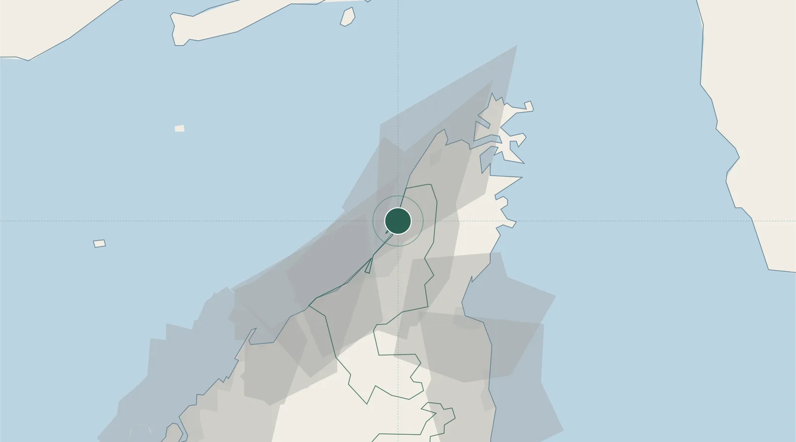
Rak Maritime City
25.9500°, 56.0500°
1
Transport functions
Transport Functions
Port
Hub Profile
Region
RK
Location
Nearby Logistics Neighbours
Cities
- 1Stevin Rock2 km
- 2Mina Saqr3 km
- 3Ras al Khaimah4 km
- 4Al Jeer Port9 km
- 5Hulaylah Terminal12 km
Ports
- 1Mina Saqr4 km
- 2Hulaylah Oil Terminal12 km
- 3Khawr Khasab35 km
- 4Al Jazeera Port37 km
- 5Umm Al Qaywayn62 km
Airports
Trade Zones
DatabookThe Record of Consolidated Knowledge
United Arab Emirates beyond logistics?