UN/LOCODE hub · Vietnam
VNVUT
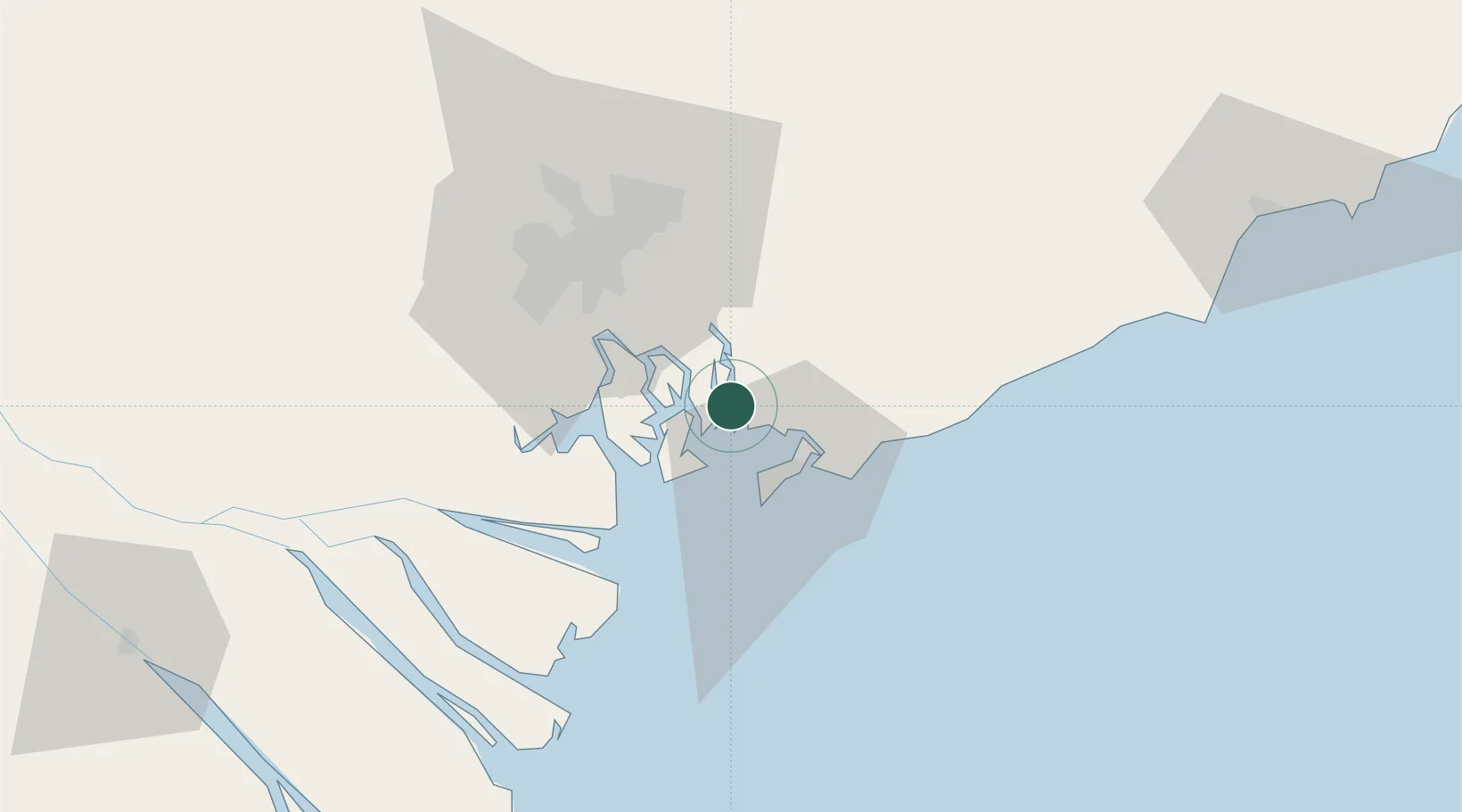
Vung Tau
10.5286°, 107.0248°
464,860
Population
3
Transport functions
6
Container terminals
Transport Functions
Port
Road
Airport
Hub Profile
Place type
Provincial seat
Region
Ho Chi Minh City (HCMC)
Population
464,860
Time zone
Asia/Ho_Chi_Minh
Elevation
10 m
Logistics facilities
10
Container terminals
6
Location
Nearby Logistics Neighbours
Cities
- 1Cai Mep0 km
- 2Cai Mep International Terminal3 km
- 3Saigon ITV/Phu My8 km
- 4Go Dau B Terminal10 km
- 5Go Dau A Terminal14 km
Ports
- 1Phu My6 km
- 2Cat Lai36 km
- 3Thanh Hoa43 km
- 4Thanh Ho Chi Minh43 km
- 5Vinh Cam Ranh278 km
Airports
Trade Zones
DatabookThe Record of Consolidated Knowledge
Vietnam beyond logistics?