Export Processing Zone · Vietnam

Phuc Khanh Industrial Park Active
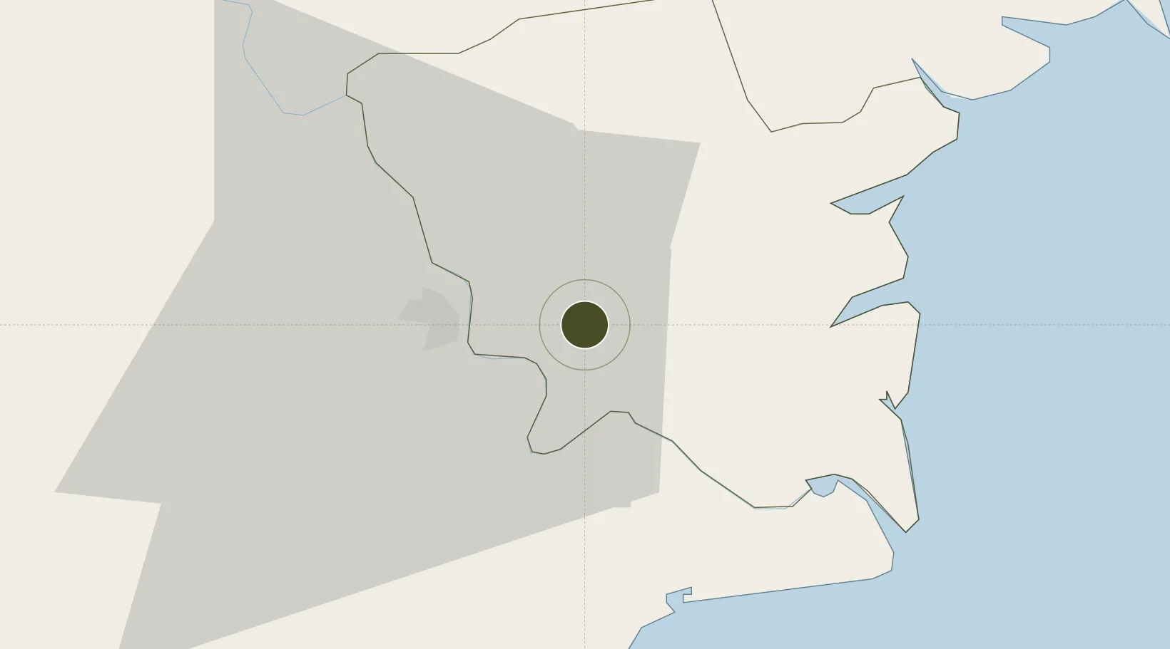
20.4387°, 106.3123°
120 ha
Zone area
65.7 km
Nearest port
60.1 km
Nearest airport

Gateway access

Nearest neighbours — logibook spatial index (haversine) over the source coordinates

Zone profile

Zone type
Export Processing Zone
Open Zone Map
Region
Thái Bình
Open Zone Map
Status
Active
Open Zone Map
Management
Public-Private Partnership
Open Zone Map
Operator
Khai Phat Dai Tin JSC
Open Zone Map
Legal framework
Decree No.82/2018/ND-CP on Management of Industrial Parks and Economic Zones, Decree No 218/2013/ND-CP
Open Zone Map

Location

Location of ozm-5160
Natural Earth 10m (public domain) · Thái Bình · ozm-5160 · 20.44, 106.31GoogleOSMYandex

Nearby Logistics Neighbours

Ports
  1. 1Hai Phong66 km
  2. 2Hon Gai97 km
  3. 3Cam Pha128 km
  4. 4Nghe Tinh195 km
  5. 5Fang-Cheng257 km
Nearest neighbours — logibook spatial index (haversine) over the source coordinates
Airports
  1. 1Cat Bi International Airport60 km
  2. 2Gia Lam Air Base80 km
  3. 3Noi Bai International Airport102 km
  4. 4Tho Xuan Airport107 km
  5. 5Van Don International Airport138 km
Nearest neighbours — logibook spatial index (haversine) over the source coordinates
Cities
  1. 1Nghe Tinh18 km
  2. 2Hoa Mac39 km
  3. 3Phu Lý44 km
  4. 4Vat Cach58 km
  5. 5Cua Cam Terminal61 km
Nearest neighbours — logibook spatial index (haversine) over the source coordinates
Trade Zones
  1. 1Phuc Khanh Ii Industrial Park3 km
  2. 2Song Tra Industrial Park3 km
  3. 3Thaco - Thai Binh Industrial Park3 km
  4. 4Gia Lê Industrial Park8 km
  5. 5Tien Hai Industrial Zone23 km
Nearest neighbours — logibook spatial index (haversine) over the source coordinates
DatabookThe Record of Consolidated Knowledge
Vietnam beyond logistics?
Browse databook

All Sources

Trade ZonesOpen Zone Map
CC BY
Portsthe NGA World Port Index
Public domain (US gov)
AirportsOurAirports
Public domain
LocationsUN/LOCODE
UN/LOCODE — free
← Vietnam trade zones