Export Processing Zone · Vietnam

Phuc Khanh Ii Industrial Park Active
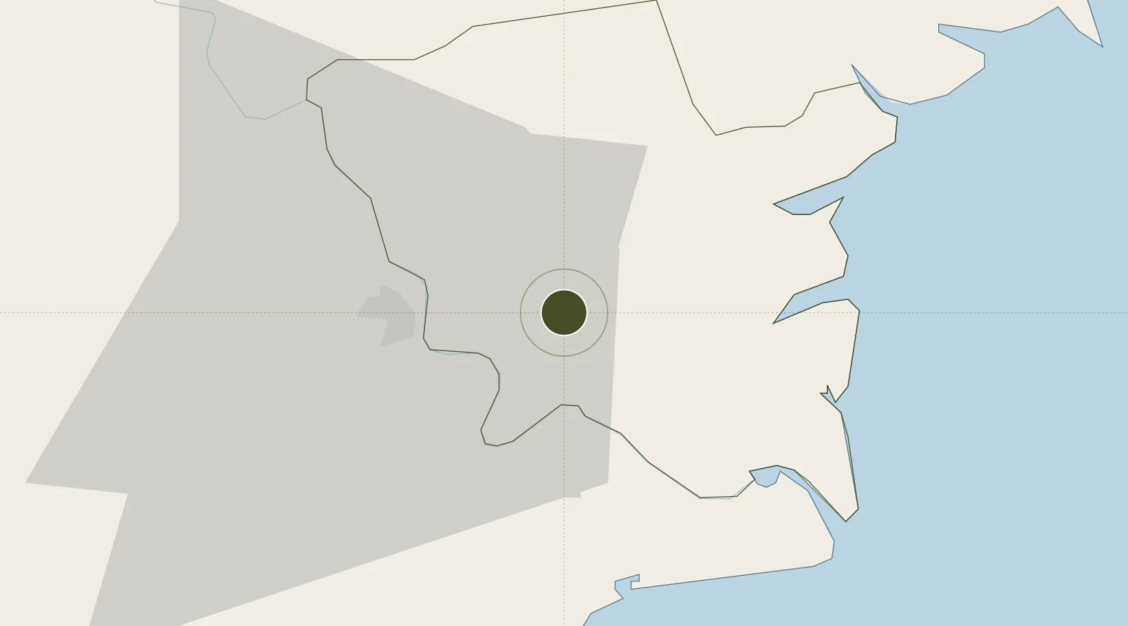
20.4463°, 106.3366°
120 ha
Zone area
63.5 km
Nearest port
57.7 km
Nearest airport

Gateway access

Nearest neighbours — logibook spatial index (haversine) over the source coordinates

Zone profile

Zone type
Export Processing Zone
Open Zone Map
Region
Thái Bình
Open Zone Map
Status
Active
Open Zone Map
Management
Public-Private Partnership
Open Zone Map
Operator
Khai Phat Dai Tin Joint Stock Company
Open Zone Map
Legal framework
Decree No.82/2018/ND-CP on Management of Industrial Parks and Economic Zones, Decree No 218/2013/ND-CP
Open Zone Map

Location

Location of ozm-5159
Natural Earth 10m (public domain) · Thái Bình · ozm-5159 · 20.45, 106.34GoogleOSMYandex

Nearby Logistics Neighbours

Ports
  1. 1Hai Phong64 km
  2. 2Hon Gai94 km
  3. 3Cam Pha125 km
  4. 4Nghe Tinh196 km
  5. 5Fang-Cheng254 km
Nearest neighbours — logibook spatial index (haversine) over the source coordinates
Airports
  1. 1Cat Bi International Airport58 km
  2. 2Gia Lam Air Base81 km
  3. 3Noi Bai International Airport102 km
  4. 4Tho Xuan Airport109 km
  5. 5Van Don International Airport135 km
Nearest neighbours — logibook spatial index (haversine) over the source coordinates
Cities
  1. 1Nghe Tinh20 km
  2. 2Hoa Mac41 km
  3. 3Phu Lý47 km
  4. 4Vat Cach56 km
  5. 5Cua Cam Terminal59 km
Nearest neighbours — logibook spatial index (haversine) over the source coordinates
Trade Zones
  1. 1Song Tra Industrial Park0 km
  2. 2Thaco - Thai Binh Industrial Park1 km
  3. 3Phuc Khanh Industrial Park3 km
  4. 4Gia Lê Industrial Park7 km
  5. 5Tien Hai Industrial Zone21 km
Nearest neighbours — logibook spatial index (haversine) over the source coordinates
DatabookThe Record of Consolidated Knowledge
Vietnam beyond logistics?
Browse databook

All Sources

Trade ZonesOpen Zone Map
CC BY
Portsthe NGA World Port Index
Public domain (US gov)
AirportsOurAirports
Public domain
LocationsUN/LOCODE
UN/LOCODE — free
← Vietnam trade zones