Diversified Zone · Vietnam

Gia Lê Industrial Park Active
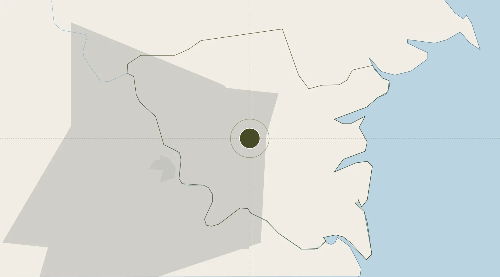
20.5033°, 106.3531°
85 ha
Zone area
57.4 km
Nearest port
52.1 km
Nearest airport

Gateway access

Nearest neighbours — logibook spatial index (haversine) over the source coordinates

Zone profile

Zone type
Diversified Zone
Open Zone Map
Region
Thái Bình
Open Zone Map
Status
Active
Open Zone Map
Management
Public
Open Zone Map
Operator
Thai Binh Industrial Park Service Center
Open Zone Map
Legal framework
Decree No.82/2018/ND-CP on Management of Industrial Parks and Economic Zones, Decree No 218/2013/ND-CP
Open Zone Map

Location

Location of ozm-5045
Natural Earth 10m (public domain) · Thái Bình · ozm-5045 · 20.50, 106.35GoogleOSMYandex

Nearby Logistics Neighbours

Ports
  1. 1Hai Phong57 km
  2. 2Hon Gai89 km
  3. 3Cam Pha121 km
  4. 4Nghe Tinh203 km
  5. 5Fang-Cheng249 km
Nearest neighbours — logibook spatial index (haversine) over the source coordinates
Airports
  1. 1Cat Bi International Airport52 km
  2. 2Gia Lam Air Base77 km
  3. 3Noi Bai International Airport98 km
  4. 4Tho Xuan Airport114 km
  5. 5Van Don International Airport130 km
Nearest neighbours — logibook spatial index (haversine) over the source coordinates
Cities
  1. 1Nghe Tinh24 km
  2. 2Hoa Mac40 km
  3. 3Phu Lý47 km
  4. 4Vat Cach50 km
  5. 5Cua Cam Terminal53 km
Nearest neighbours — logibook spatial index (haversine) over the source coordinates
Trade Zones
  1. 1Song Tra Industrial Park7 km
  2. 2Phuc Khanh Ii Industrial Park7 km
  3. 3Thaco - Thai Binh Industrial Park7 km
  4. 4Phuc Khanh Industrial Park8 km
  5. 5Cầu Nghìn Industrial Zone18 km
Nearest neighbours — logibook spatial index (haversine) over the source coordinates
DatabookThe Record of Consolidated Knowledge
Vietnam beyond logistics?
Browse databook

All Sources

Trade ZonesOpen Zone Map
CC BY
Portsthe NGA World Port Index
Public domain (US gov)
AirportsOurAirports
Public domain
LocationsUN/LOCODE
UN/LOCODE — free
← Vietnam trade zones