UN/LOCODE hub · Trinidad & Tobago
TTSPR
Siparia
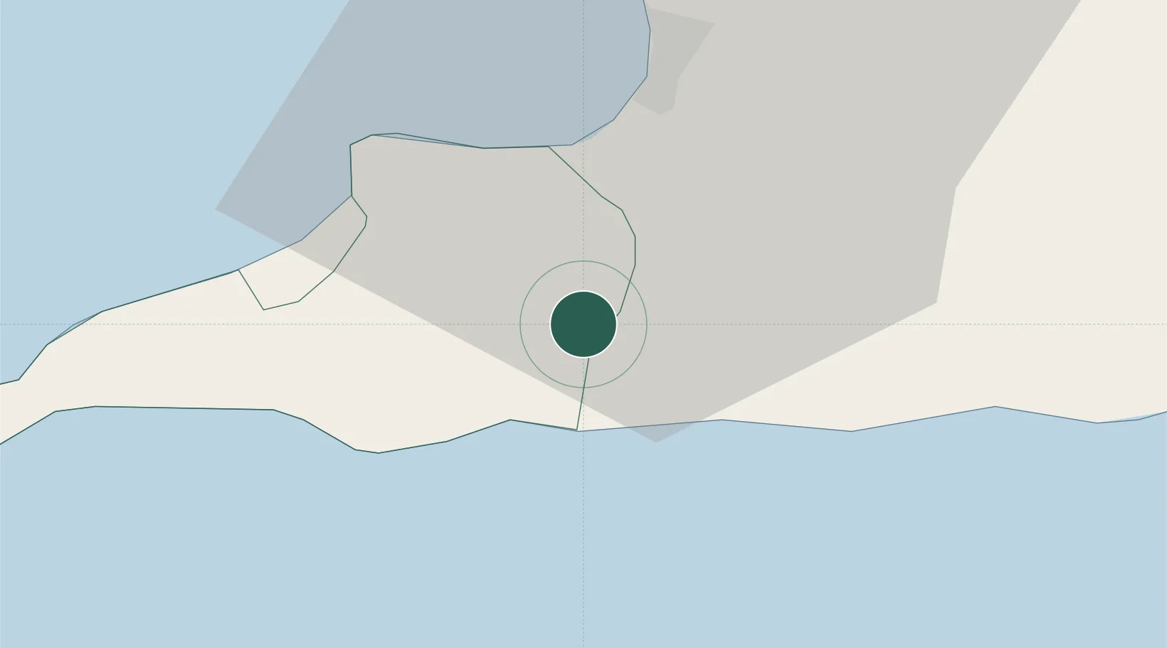
10.1333°, -61.5000°
8,568
Population
1
Transport functions
Transport Functions
Multimodal
Hub Profile
Place type
Regional capital
Region
Siparia Regional Corporation
Population
8,568
Time zone
America/Port_of_Spain
Elevation
61 m
Location
Nearby Logistics Neighbours
Cities
- 1Saint Mary's10 km
- 2South Oropouche11 km
- 3Princes Town20 km
- 4Claxton Bay24 km
- 5Point Lisas31 km
Ports
- 1Brighton20 km
- 2Pointe A Pierre21 km
- 3Point Fortin23 km
- 4Point Lisas Port30 km
- 5Galeota Point Terminal57 km
Airports
- 1Piarco International Airport55 km
- 2Guiria Airport102 km
- 3Tucupita Airport133 km
- 4A.N.R. Robinson International Airport135 km
- 5José Tadeo Monagas International Airport186 km
Trade Zones
DatabookThe Record of Consolidated Knowledge
Trinidad & Tobago beyond logistics?