Transport Functions
Rail
Road
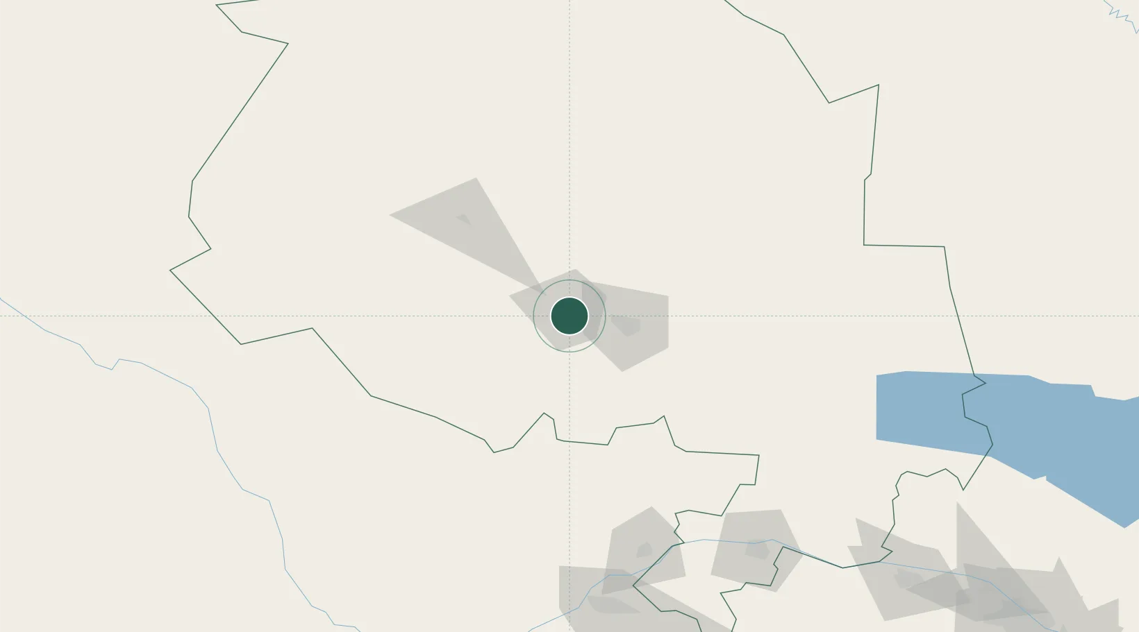
Hub Profile
Place type
Populated place
Region
Navoiy Region
Time zone
Asia/Samarkand
Elevation
392 m
Location
Nearby Logistics Neighbours
Ports
- 1Jazireh-Ye Hormoz1757 km
- 2Bandar Abbas1761 km
- 3Bandar-E Shahid Rejaie1771 km
- 4Bushehr1847 km
- 5Kharg Island Oil Terminal1855 km
Airports
Trade Zones
DatabookThe Record of Consolidated Knowledge
Uzbekistan beyond logistics?