Transport Functions
Rail
Airport
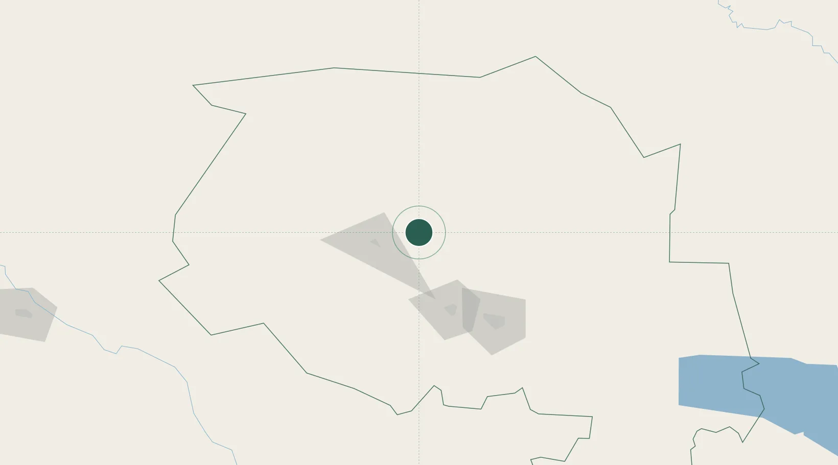
Hub Profile
Place type
Populated place
Region
Bukhara
Time zone
Asia/Samarkand
Elevation
396 m
Location
Nearby Logistics Neighbours
Cities
- 1Zarafshon80 km
- 2Lebap215 km
- 3Akaltyn253 km
- 4Nawoiy268 km
- 5Urganch (Urgench)283 km
Ports
- 1Bandar-E Mahshahr1854 km
- 2Bandar Khomeyni1863 km
- 3Bushehr1886 km
- 4Kharg Island Oil Terminal1892 km
- 5Khorramshahr1921 km
Airports
- 1Sugraly Airport75 km
- 2Navoi International Airport259 km
- 3Bukhara International Airport279 km
- 4Urgench International Airport281 km
- 5Korkyt Ata International Airport305 km
Trade Zones
DatabookThe Record of Consolidated Knowledge
Uzbekistan beyond logistics?