Transport Functions
Rail
Road
Hub Profile
Place type
Populated place
Time zone
Asia/Ashgabat
Elevation
135 m
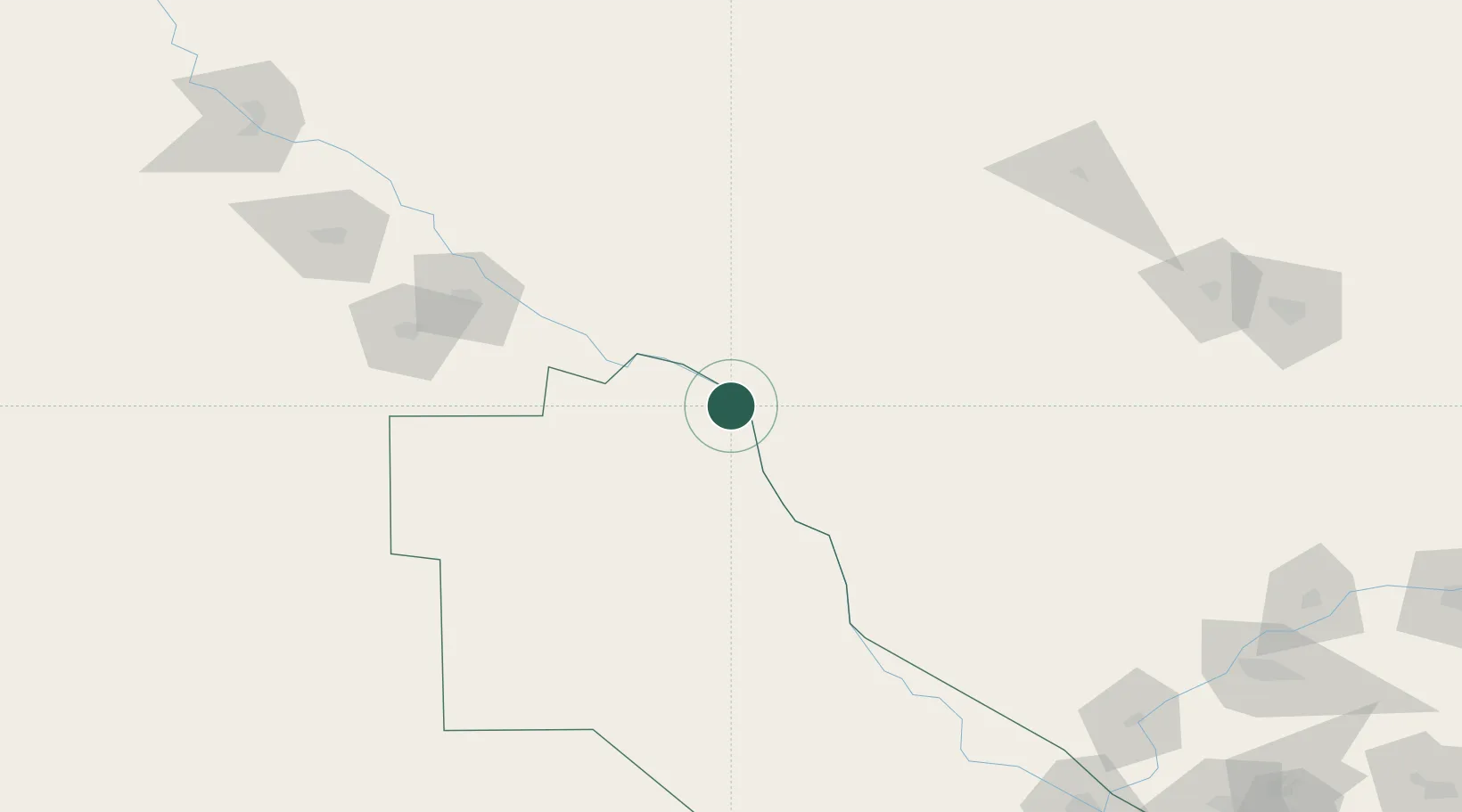
Location
Nearby Logistics Neighbours
Cities
- 1Akaltyn81 km
- 2Astana112 km
- 3Urganch (Urgench)118 km
- 4Zarafshon202 km
- 5Yylanly208 km
Ports
- 1Bandar-E Mahshahr1639 km
- 2Bandar Khomeyni1648 km
- 3Bushehr1674 km
- 4Kharg Island Oil Terminal1679 km
- 5Khorramshahr1706 km
Airports
- 1Urgench International Airport119 km
- 2Dashoguz International Airport188 km
- 3Sugraly Airport206 km
- 4Nukus International Airport246 km
- 5Bukhara International Airport262 km
Trade Zones
DatabookThe Record of Consolidated Knowledge
Turkmenistan beyond logistics?