Transport Functions
Rail
Road
Hub Profile
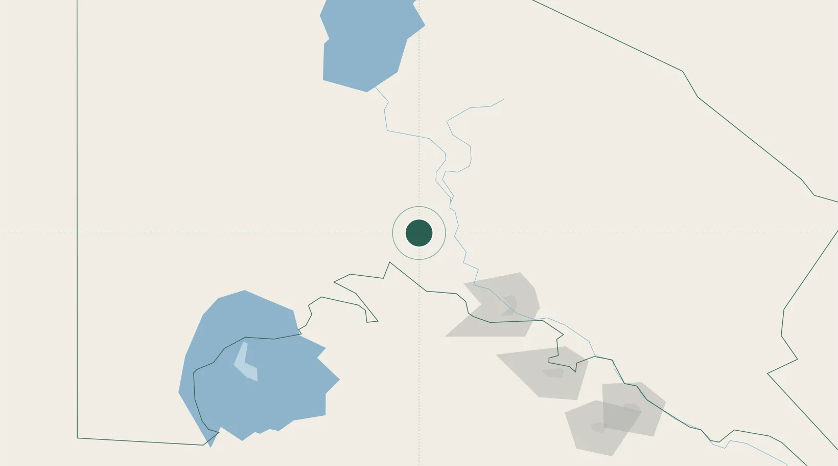
Place type
Populated place
Region
Karakalpakstan
Population
80,090
Time zone
Asia/Samarkand
Elevation
60 m
Location
Nearby Logistics Neighbours
Cities
- 1Köneürgench83 km
- 2Boldumsaz121 km
- 3Yylanly145 km
- 4Urganch (Urgench)222 km
- 5Astana239 km
Ports
- 1Bandar-E Mahshahr1638 km
- 2Bandar Khomeyni1646 km
- 3Khorramshahr1689 km
- 4Abadan1694 km
- 5Al Basrah1699 km
Airports
Trade Zones
DatabookThe Record of Consolidated Knowledge
Uzbekistan beyond logistics?