Transport Functions
Port
Multimodal
Hub Profile
Place type
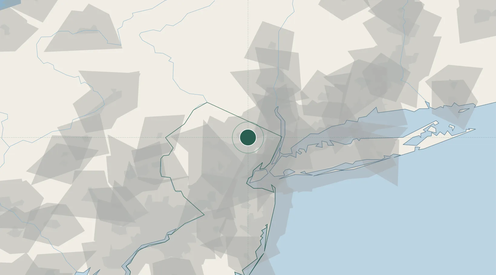
Populated place
Region
New Jersey
Time zone
America/New_York
Elevation
59 m
Location
Nearby Logistics Neighbours
Cities
- 1Haskell4 km
- 2Pequannock4 km
- 3Wyckoff9 km
- 4West Paterson13 km
- 5Ho-Ho-Kus14 km
Airports
Trade Zones
DatabookThe Record of Consolidated Knowledge
United States beyond logistics?