UN/LOCODE hub · United States
USJEO
Jefferson
32.7500°, -94.3333°
2,048
Population
2
Transport functions
Transport Functions
Rail
Road
Hub Profile
Place type
Provincial seat
Region
Texas
Population
2,048
Time zone
America/Chicago
Elevation
59 m
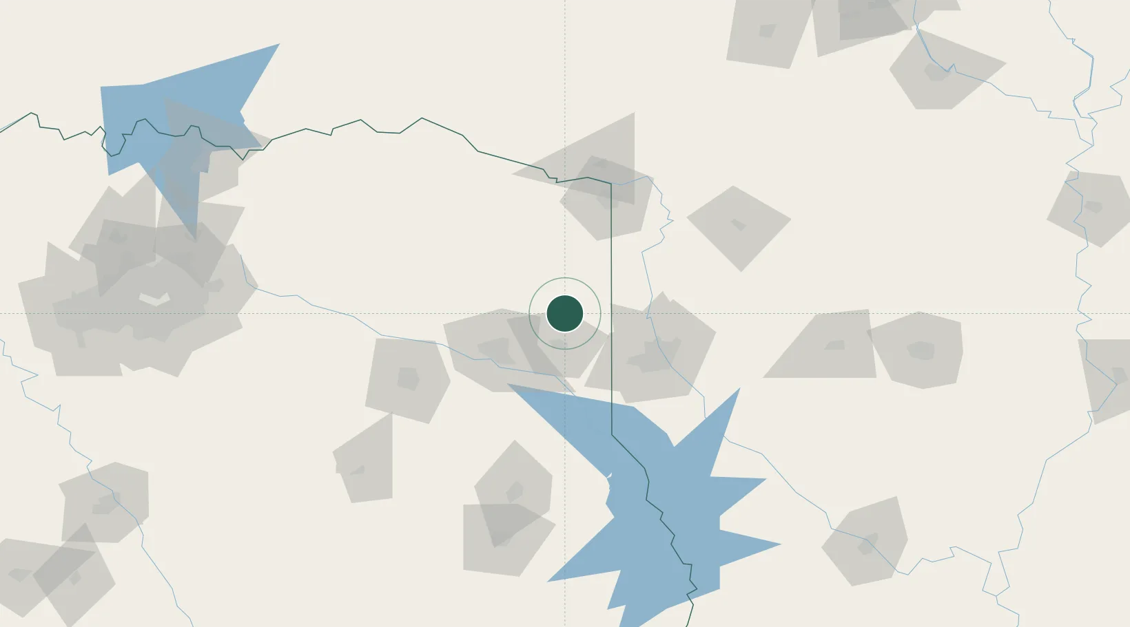
Location
Nearby Logistics Neighbours
Cities
- 1Oil City30 km
- 2Hughes Springs38 km
- 3Waskom41 km
- 4Atlanta43 km
- 5Queen City46 km
Ports
- 1Beaumont298 km
- 2Lake Charles300 km
- 3Orange302 km
- 4Port Neches308 km
- 5Port Arthur326 km
Airports
Trade Zones
- 1FTZ No. 145 Shreveport48 km
- 2FTZ No. 146 Lawrence County48 km
- 3FTZ No. 234 Gregg County61 km
- 4FTZ No. 258 Bowie County87 km
- 5FTZ No. 269 Athens158 km
DatabookThe Record of Consolidated Knowledge
United States beyond logistics?